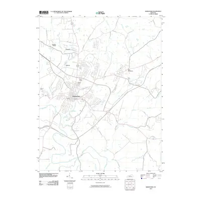
2010 Map of Bardstown
USGS Topo · Published 2010About this map
Bardstown serves as the central hub of this Nelson County landscape, where the intersection of significant thoroughfares like the Bluegrass Pkwy and Old Bloomfield Pike illustrates the area's development. The map reveals a community deeply rooted in its local institutions, from the Bardstown Post Office at the town center to the sprawling grounds of Nazareth to the north. Waterways like Beech Fork and Town Creek weave through the terrain, defining the natural boundaries between established neighborhoods and the surrounding rural reaches.
Find a feature on this map
53 named features on this map. Tap any name to fly to it.
Don’t see what you’re looking for? This feature index may not catch every label — zoom into the map to look around manually.
Map Details
Editions of this 2010 Bardstown Map
This is the sole edition of this map. No revisions or reprints were ever made.
Other maps of this area
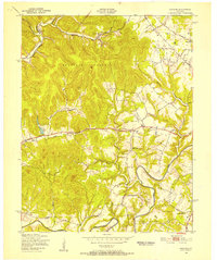
1949 · Cravens
USGS Topo · 1:24,000
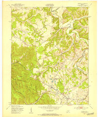
1949 · Samuels
USGS Topo · 1:24,000
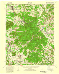
1949 · Shepherdsville
USGS Topo · 1:62,500
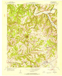
1953 · Loretto
USGS Topo · 1:24,000
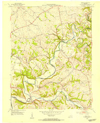
1953 · Maud
USGS Topo · 1:24,000
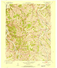
1953 · Saint Catharine
USGS Topo · 1:24,000
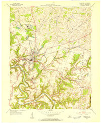
1953 · Bardstown
USGS Topo · 1:24,000
1953 · New Haven
USGS Topo · 1:24,000
1953 · Bloomfield
USGS Topo · 1:24,000
1953 · Fairfield
USGS Topo · 1:24,000