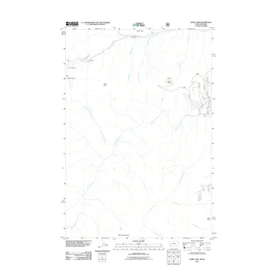
2011 Map of Bare Cone
USGS Topo · Published 2011About this map
Nez Perce Camp and Fales Flat sit along the northern edge of this remote mountain landscape where the Nez Perce Fork cuts through the Bitterroot Range. The terrain is defined by prominent peaks and ridges including Bare Cone, Razorback Mountain, and Coal Ridge, with water sources like Charlies Waterhole providing vital points of reference in the high country.
Find a feature on this map
21 named features on this map. Tap any name to fly to it.
Don’t see what you’re looking for? This feature index may not catch every label — zoom into the map to look around manually.
Map Details
Editions of this 2011 Bare Cone Map
This is the sole edition of this map. No revisions or reprints were ever made.
Other maps of this area

1956 · Elk City
USGS Topo · 1:250,000

1960 · Elk City
USGS Topo · 1:250,000

1960 · Painted Rocks Lake
USGS Topo · 1:62,500

1962 · Blue Joint
USGS Topo · 1:24,000

1962 · Nez Perce Peak
USGS Topo · 1:24,000

1964 · Boulder Peak
USGS Topo · 1:24,000
1964 · Mount Jerusalem
USGS Topo · 1:24,000

1966 · Watchtower Peak
USGS Topo · 1:24,000

1991 · Horse Creek Pass
USGS Topo · 1:24,000
1991 · Painted Rocks Lake
USGS Topo · 1:24,000