
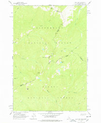
1962 Map of Blue Joint
USGS Topo · Published 1963About this map
Bitterroot National Forest and Salmon National Forest converge at the high-altitude boundary of Idaho and Montana on this early 1960s survey. The landscape is defined by the sharp convergence of several county lines, including Ravalli, Idaho, and Lemhi counties. High-country landmarks such as Squaw Peak and the namesake peak of Blue Joint dominate the topography, while the presence of a Heliport near Two Bucks Spring suggests the modern logistical challenges of managing this wilderness during the mid-20th century.
Find a feature on this map
28 named features on this map. Tap any name to fly to it.
Don’t see what you’re looking for? This feature index may not catch every label — zoom into the map to look around manually.
Map Details
Editions of this 1962 Blue Joint Map
2 editions found
Other maps of this area

1956 · Elk City
USGS Topo · 1:250,000

1960 · Elk City
USGS Topo · 1:250,000

1960 · Painted Rocks Lake
USGS Topo · 1:62,500

1960 · Shoup
USGS Topo · 1:62,500

1962 · Wood Hump
USGS Topo · 1:24,000

1962 · Beaver Jack Mtn
USGS Topo · 1:24,000

1962 · Square Top
USGS Topo · 1:24,000

1962 · Horse Creek Butte
USGS Topo · 1:24,000

1962 · Nez Perce Peak
USGS Topo · 1:24,000

1982 · Bighorn Crags
USGS Topo · 1:100,000