
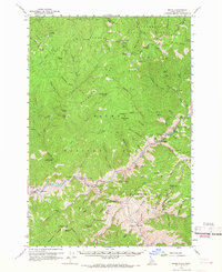
1960 Map of Shoup
USGS Topo · Published 1962About this map
Shoup and the canyon of the Salmon River dominate this 1960 survey, documenting a rugged landscape of mining claims and forest lookouts along the Idaho-Montana border. The region's mineral heritage is evident in the cluster of workings near China Gulch, including the Kentucky Mine, Gold Hill Mine, and Clipper Bullion Mine. These operations were deeply tied to the steep river geography, where Pine Creek Rapids and Eagles Nest provided distinct landmarks for travelers navigating the water.
Find a feature on this map
144 named features on this map. Tap any name to fly to it.
Don’t see what you’re looking for? This feature index may not catch every label — zoom into the map to look around manually.
Map Details
Editions of this 1960 Shoup Map
2 editions found
Other maps of this area

1950 · Blackbird Mtn
USGS Topo · 1:62,500

1950 · Leesburg
USGS Topo · 1:62,500

1951 · Leesburg
USGS Topo · 1:62,500

1951 · Blackbird Mtn
USGS Topo · 1:62,500

1956 · Elk City
USGS Topo · 1:250,000

1960 · Elk City
USGS Topo · 1:250,000

1960 · Painted Rocks Lake
USGS Topo · 1:62,500

1960 · Ulysses Mtn
USGS Topo · 1:62,500

1960 · Piquett Mountain
USGS Topo · 1:62,500

1962 · Blue Joint
USGS Topo · 1:24,000