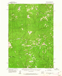
1960 Map of Piquett Mountain
USGS Topo · Published 1962About this map
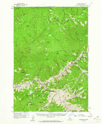
The Bitterroot National Forest straddles the high divide between Montana and Idaho, defined here by the jagged transition from the Bitterroot Range to the Salmon River watershed. This survey, based on 1954 aerial photography and 1960 field checks, documents a landscape shaped by both natural isolation and industrial activity. Remote settlements and camps such as Hughes, Emmett, and Henderson Cabin are connected by a network of trails and primitive jeep roads, while topographic markers like VABM 8831 Lookout atop Piquett Mtn reflect the region's fire-management infrastructure.
Find a feature on this map
73 named features on this map. Tap any name to fly to it.
Don’t see what you’re looking for? This feature index may not catch every label — zoom into the map to look around manually.
Map Details
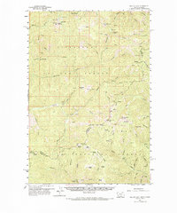
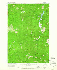
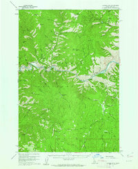
Editions of this 1960 Piquett Mountain Map
3 editions found

Other maps of this area

1955 · Dillon
USGS Topo · 1:250,000

1956 · Elk City
USGS Topo · 1:250,000

1957 · Dillon
USGS Topo · 1:250,000

1958 · Dillon
USGS Topo · 1:250,000

1960 · Elk City
USGS Topo · 1:250,000
1960 · Painted Rocks Lake
USGS Topo · 1:62,500
1960 · Ulysses Mtn
USGS Topo · 1:62,500
1960 · Shoup
USGS Topo · 1:62,500

1962 · Dillon
USGS Topo · 1:250,000

1964 · Boulder Peak
USGS Topo · 1:24,000