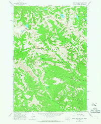
1964 Map of Mount Jerusalem
USGS Topo · Published 1968About this map
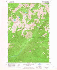
Mount Jerusalem and Bare Peak anchor this mid-1960s survey of the high country straddling the Idaho Montana state line. This landscape, preserved within the Bitterroot National Forest and the Selway-Bitterroot Wilderness, is defined by a network of high-elevation glacial lakes and drainage basins. A complex system of Pack Trails provides the only recorded access through these steep elevations, connecting water bodies such as Canyon Lake, Watchtower Lake, and the remote Jerusalem Lake.
Find a feature on this map
24 named features on this map. Tap any name to fly to it.
Don’t see what you’re looking for? This feature index may not catch every label — zoom into the map to look around manually.
Map Details
Editions of this 1964 Mount Jerusalem Map
2 editions found
Other maps of this area

1956 · Elk City
USGS Topo · 1:250,000

1960 · Elk City
USGS Topo · 1:250,000

1960 · Painted Rocks Lake
USGS Topo · 1:62,500

1962 · Nez Perce Peak
USGS Topo · 1:24,000

1964 · Boulder Peak
USGS Topo · 1:24,000
1964 · Trapper Peak
USGS Topo · 1:24,000
1964 · Tin Cup Lake
USGS Topo · 1:24,000

1966 · Watchtower Peak
USGS Topo · 1:24,000
1966 · Mount Paloma
USGS Topo · 1:24,000
1991 · Painted Rocks Lake
USGS Topo · 1:24,000