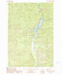
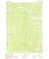
1991 Map of Painted Rocks Lake
USGS Topo · Published 1991About this map
Painted Rocks State Recreation Area centers this survey of the Montana high country, where the impounded waters of the West Fork Bitterroot River form Painted Rocks Lake. Held by the West Fork Dam, the reservoir is a primary focal point for recreation and water management within the broader Bitterroot National Forest. The map documents the interface between protected wilderness and developed access, featuring the Painted Rocks State Recreation Campground and Slate Creek Campground along the eastern shore.
Find a feature on this map
33 named features on this map. Tap any name to fly to it.
Don’t see what you’re looking for? This feature index may not catch every label — zoom into the map to look around manually.
Map Details
Editions of this 1991 Painted Rocks Lake Map
2 editions found
Other maps of this area

1956 · Elk City
USGS Topo · 1:250,000

1960 · Elk City
USGS Topo · 1:250,000

1960 · Painted Rocks Lake
USGS Topo · 1:62,500

1960 · Piquett Mountain
USGS Topo · 1:62,500

1964 · Boulder Peak
USGS Topo · 1:24,000
1964 · Mount Jerusalem
USGS Topo · 1:24,000

1964 · Piquett Creek
USGS Topo · 1:24,000
1991 · Piquett Mountain
USGS Topo · 1:24,000

1991 · Horse Creek Pass
USGS Topo · 1:24,000
1991 · Henderson Ridge
USGS Topo · 1:24,000