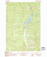
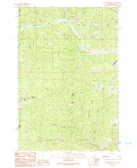
1991 Map of Painted Rocks Lake
USGS Topo · Published 1994About this map
The West Fork Bitterroot River corridor anchors this portion of the Bitterroot National Forest, where the impoundment of the West Fork Dam forms the prominent Painted Rocks Lake. This 1991 aerial-photographed study captures the landscape of the Painted Rocks State Recreation Area and its public facilities, including the State Creek Campground and Painted Rocks State Recreation Campground. The surrounding terrain is defined by a dense network of drainages such as Blue Joint Creek and Fourth of July Gulch, which feed into the central reservoir.
Find a feature on this map
36 named features on this map. Tap any name to fly to it.
Don’t see what you’re looking for? This feature index may not catch every label — zoom into the map to look around manually.
Map Details
Editions of this 1991 Painted Rocks Lake Map
2 editions found
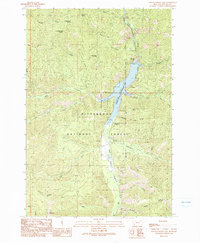
Other maps of this area

1956 · Elk City
USGS Topo · 1:250,000

1960 · Elk City
USGS Topo · 1:250,000

1960 · Painted Rocks Lake
USGS Topo · 1:62,500

1960 · Piquett Mountain
USGS Topo · 1:62,500

1964 · Boulder Peak
USGS Topo · 1:24,000
1964 · Mount Jerusalem
USGS Topo · 1:24,000

1964 · Piquett Creek
USGS Topo · 1:24,000
1991 · Piquett Mountain
USGS Topo · 1:24,000

1991 · Horse Creek Pass
USGS Topo · 1:24,000
1991 · Henderson Ridge
USGS Topo · 1:24,000