
1964 Map of Piquett Creek
USGS Topo · Published 1968About this map
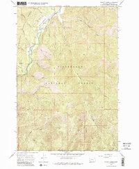
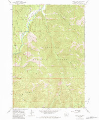
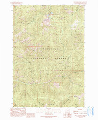
Bitterroot National Forest dominates this mid-1960s terrain, where the Bitterroot River West Fork carves a path through the steep drainages of the Bitterroot Range. The map reveals a landscape defined by its remote utility, featuring the Shook Mtn Landing Strip perched near the river and a Gravel Pit providing material for local infrastructure. A complex network of watercourses, including Piquett Creek, Boulder Creek, and Applebury Creek, feeds the river valley from the surrounding heights.
Find a feature on this map
29 named features on this map. Tap any name to fly to it.
Don’t see what you’re looking for? This feature index may not catch every label — zoom into the map to look around manually.
Map Details
Editions of this 1964 Piquett Creek Map
3 editions found
Other maps of this area

1956 · Elk City
USGS Topo · 1:250,000

1960 · Elk City
USGS Topo · 1:250,000

1960 · Painted Rocks Lake
USGS Topo · 1:62,500

1960 · Piquett Mountain
USGS Topo · 1:62,500

1964 · Burnt Ridge
USGS Topo · 1:24,000

1964 · Boulder Peak
USGS Topo · 1:24,000
1964 · Trapper Peak
USGS Topo · 1:24,000
1964 · Robbins Gulch
USGS Topo · 1:24,000

1965 · Medicine Hot Springs
USGS Topo · 1:24,000
1991 · Piquett Mountain
USGS Topo · 1:24,000