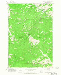
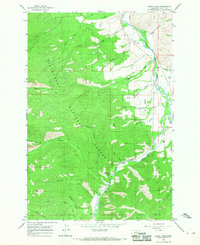
1965 Map of Medicine Hot Springs
USGS Topo · Published 1968About this map
Medicine Hot Springs serves as the focal point for this 1960s survey of the mountain wilderness within the Bitterroot National Forest. The landscape is defined by the steep drainage systems of the East Fork Bitterroot River, where recreational sites like Spring Gulch Campground and Warm Springs Campground were established along the river's edge. Higher elevations are marked by distinct peaks and ridgelines, including Shook Mountain and Coyote Peak, as well as named outcrops such as Jim Hill Rock and Medicine Point.
Find a feature on this map
42 named features on this map. Tap any name to fly to it.
Don’t see what you’re looking for? This feature index may not catch every label — zoom into the map to look around manually.
Map Details
Editions of this 1965 Medicine Hot Springs Map
3 editions found
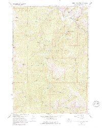
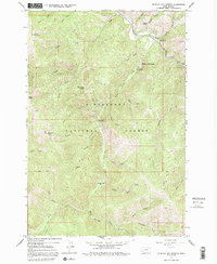
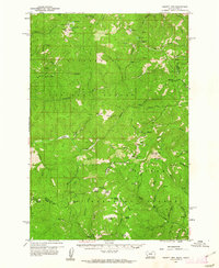
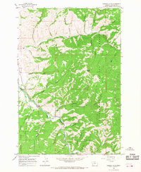
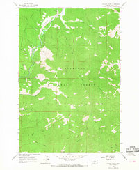
Other maps of this area

1955 · Dillon
USGS Topo · 1:250,000

1956 · Elk City
USGS Topo · 1:250,000

1957 · Dillon
USGS Topo · 1:250,000

1958 · Dillon
USGS Topo · 1:250,000

1960 · Elk City
USGS Topo · 1:250,000
1960 · Piquett Mountain
USGS Topo · 1:62,500

1962 · Dillon
USGS Topo · 1:250,000
1964 · Burnt Ridge
USGS Topo · 1:24,000
1964 · Robbins Gulch
USGS Topo · 1:24,000
1964 · Piquett Creek
USGS Topo · 1:24,000