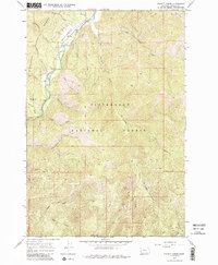
1964 Map of Piquett Creek
USGS Topo · Published 1984About this map
The West Fork Bitterroot River defines the western corridor of this landscape, serving as the primary drainage for numerous tributaries flowing out of the Bitterroot National Forest. In the mid-1960s, this area supported seasonal recreation and light industry, evidenced by the Boulder Creek Campground and a Gravel Pit near the riverbanks. The high-altitude terrain is marked by significant peaks like Rombo Mtn, while more remote reaches are accessible only via an extensive Pack Trail network. A notable piece of aviation infrastructure, the Shook Mtn Landing Strip, sits on a ridge overlooking the valley, illustrating how remote backcountry management and fire suppression were facilitated in this period. Named water bodies such as Piquett Creek, Applebury Creek, and Violet Creek carve deep drainages through the forest, emphasizing the importance of watershed geography in Ravalli County.
Find a feature on this map
27 named features on this map. Tap any name to fly to it.
Don’t see what you’re looking for? This feature index may not catch every label — zoom into the map to look around manually.
Map Details
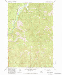
Editions of this 1964 Piquett Creek Map
3 editions found
Other maps of this area

1956 · Elk City
USGS Topo · 1:250,000

1960 · Elk City
USGS Topo · 1:250,000

1960 · Painted Rocks Lake
USGS Topo · 1:62,500

1960 · Piquett Mountain
USGS Topo · 1:62,500

1964 · Burnt Ridge
USGS Topo · 1:24,000

1964 · Boulder Peak
USGS Topo · 1:24,000
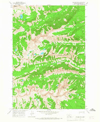
1964 · Trapper Peak
USGS Topo · 1:24,000
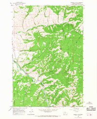
1964 · Robbins Gulch
USGS Topo · 1:24,000

1964 · Piquett Creek
USGS Topo · 1:24,000

1965 · Medicine Hot Springs
USGS Topo · 1:24,000