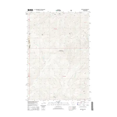
2014 Map of Bare Cone
USGS Topo · Published 2014About this map
Bitterroot National Forest dominates this landscape along the state line where Ravalli County meets Idaho. The area is defined by sharp topographic elevation changes, centered on the high point of Bare Cone. Historically significant mountain crossings are anchored by Nezperce Pass in the northwest, providing a passage through the steep terrain between the Idaho-Montana border.
Find a feature on this map
45 named features on this map. Tap any name to fly to it.
Don’t see what you’re looking for? This feature index may not catch every label — zoom into the map to look around manually.
Map Details
Editions of this 2014 Bare Cone Map
This is the sole edition of this map. No revisions or reprints were ever made.
Other maps of this area

1956 · Elk City
USGS Topo · 1:250,000

1960 · Elk City
USGS Topo · 1:250,000

1960 · Painted Rocks Lake
USGS Topo · 1:62,500

1962 · Blue Joint
USGS Topo · 1:24,000

1962 · Nez Perce Peak
USGS Topo · 1:24,000

1964 · Boulder Peak
USGS Topo · 1:24,000
1964 · Mount Jerusalem
USGS Topo · 1:24,000

1966 · Watchtower Peak
USGS Topo · 1:24,000

1991 · Horse Creek Pass
USGS Topo · 1:24,000
1991 · Painted Rocks Lake
USGS Topo · 1:24,000