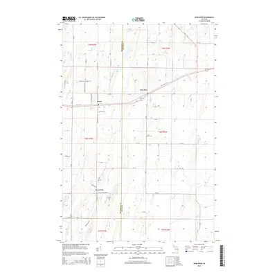
2014 Map of Bark River
USGS Topo · Published 2014About this map
Harris and Bark River anchor this 2014 survey of the Upper Peninsula landscape where the Menominee and Delta County line divides the terrain. This area is defined by its complex hydrography, with numerous waterways including Pine Creek, Depas Creek, and Advent Creek draining toward the Cedar River. The settlement pattern follows the corridor of Us-2, where established communities sit alongside tribal lands at Hannahville.
Find a feature on this map
69 named features on this map. Tap any name to fly to it.
Don’t see what you’re looking for? This feature index may not catch every label — zoom into the map to look around manually.
Map Details
Editions of this 2014 Bark River Map
This is the sole edition of this map. No revisions or reprints were ever made.
Other maps of this area

1932 · Bark River NE
USGS Topo · 1:31,680

1932 · Whitney SE
USGS Topo · 1:31,680

1932 · Gladstone SW
USGS Topo · 1:31,680

1954 · Escanaba
USGS Topo · 1:250,000

1957 · Escanaba
USGS Topo · 1:250,000

1958 · Escanaba
USGS Topo · 1:250,000

1958 · Gladstone
USGS Topo · 1:62,500

1958 · Escanaba
USGS Topo · 1:62,500

1963 · Bark River
USGS Topo · 1:62,500

1963 · Schaffer
USGS Topo · 1:62,500