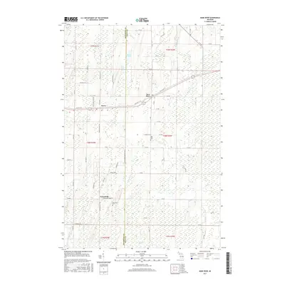
2017 Map of Bark River
USGS Topo · Published 2017About this map
Harris and Bark River serve as the primary hubs of activity in this 2017 survey of the Upper Peninsula, straddling the boundary between Delta and Menominee Counties. The geography is defined by a dense network of country roads like Old Hwy 2 & 41 and Old US Hwy 41 that connect these small settlements. Further south, the community of Hannahville sits amidst the wooded landscape, home to the Hannahville Cemetery and proximity to Depas Creek. The eastern portion of the map is dominated by the waterway of the Bark River, which meanders through the terrain near the Bark River Cemetery. To the north, a chain of glacial water bodies including Little Pine Lake, First Lake, and Second Lake indicates the region's typical low-lying marshy character, culminating in the expansive Sevenmile Marsh near the southern border.
Find a feature on this map
64 named features on this map. Tap any name to fly to it.
Don’t see what you’re looking for? This feature index may not catch every label — zoom into the map to look around manually.
Map Details
Editions of this 2017 Bark River Map
This is the sole edition of this map. No revisions or reprints were ever made.
Other maps of this area

1932 · Bark River NE
USGS Topo · 1:31,680

1932 · Whitney SE
USGS Topo · 1:31,680

1932 · Gladstone SW
USGS Topo · 1:31,680

1954 · Escanaba
USGS Topo · 1:250,000

1957 · Escanaba
USGS Topo · 1:250,000

1958 · Escanaba
USGS Topo · 1:250,000

1958 · Gladstone
USGS Topo · 1:62,500

1958 · Escanaba
USGS Topo · 1:62,500

1963 · Bark River
USGS Topo · 1:62,500

1963 · Schaffer
USGS Topo · 1:62,500