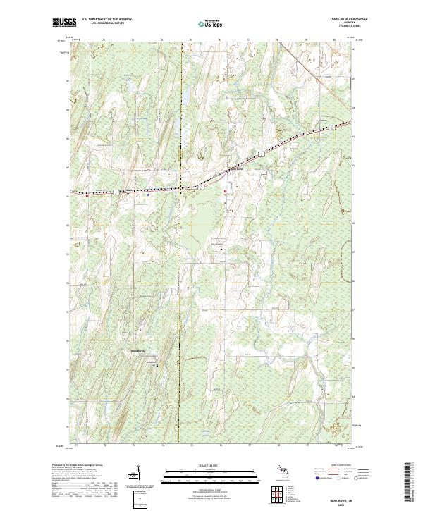
2023 Map of Bark River
USGS Topo · Published 2023About this map
Bark River and the neighboring settlements of Harris and Hannahville define this portion of the Upper Peninsula at the boundary of Delta and Menominee counties. The landscape is characterized by a high density of wetlands and drainage systems, most notably Sevenmile Marsh and the winding courses of the Cedar River and North Branch Bark River. A legacy of industrial transport is preserved in the Felch Grade Route Trl, which cuts across the northern landscape through sections of the Escanaba River State Forest. Local history is anchored by the Bark River Township Cem and the Hannahville Cem, while named water bodies like Little Pine Lake and First Lake indicate the importance of the region's scattered basins. The rectilinear road grid, featuring many numbered routes like 12th Rd and 9th Rd, overlays a terrain deeply marked by glacial hydrography.
Find a feature on this map
60 named features on this map. Tap any name to fly to it.
Don’t see what you’re looking for? This feature index may not catch every label — zoom into the map to look around manually.
Map Details
Editions of this 2023 Bark River Map
This is the sole edition of this map. No revisions or reprints were ever made.
Other maps of this area

1932 · Bark River NE
USGS Topo · 1:31,680

1932 · Whitney SE
USGS Topo · 1:31,680

1932 · Gladstone SW
USGS Topo · 1:31,680

1954 · Escanaba
USGS Topo · 1:250,000

1957 · Escanaba
USGS Topo · 1:250,000

1958 · Escanaba
USGS Topo · 1:250,000

1958 · Gladstone
USGS Topo · 1:62,500

1958 · Escanaba
USGS Topo · 1:62,500

1963 · Bark River
USGS Topo · 1:62,500

1963 · Schaffer
USGS Topo · 1:62,500