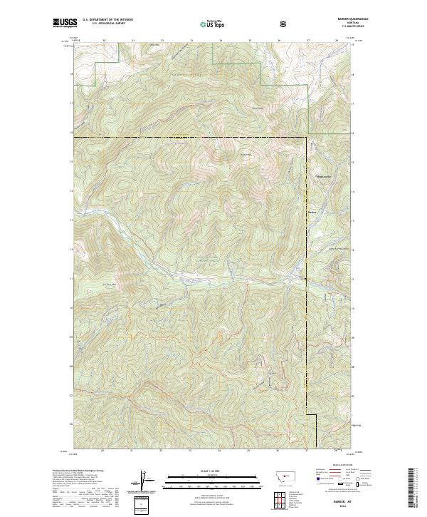
2024 Map of Barker
USGS Topo · Published 2024About this map
Hughesville and Barker sit at the center of this mountain landscape, historically significant mining settlements along the eastern edge of the Lewis & Clark National Forest. The geography is defined by the sharp elevations of the Little Belt Mountains, where high peaks like Otter Mtn and Barker Mtn overlook deep drainages such as Galena Creek and Dry Fork Belt Creek. The area’s cemetery, Barker Cem, remains a quiet witness to the generations that worked these slopes.
Find a feature on this map
49 named features on this map. Tap any name to fly to it.
Don’t see what you’re looking for? This feature index may not catch every label — zoom into the map to look around manually.
Map Details
Editions of this 2024 Barker Map
This is the sole edition of this map. No revisions or reprints were ever made.
Other maps of this area

1886 · Little Belt Mts.
USGS Topo · 1:250,000

1890 · Fort Benton
USGS Topo · 1:250,000

1892 · Fort Benton
USGS Topo · 1:250,000

1894 · Little Belt Mts.
USGS Topo · 1:250,000

1897 · Fort Benton
USGS Topo · 1:250,000

1897 · Little Belt Mts.
USGS Topo · 1:250,000

1898 · Little Belt Mts.
USGS Topo · 1:250,000

1902 · Little Belt Mts.
USGS Topo · 1:250,000

1948 · White Sulphur Springs
USGS Topo · 1:250,000

1954 · Great Falls
USGS Topo · 1:250,000