2024 Map of Barling
USGS Topo · Published 2024About this map
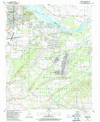
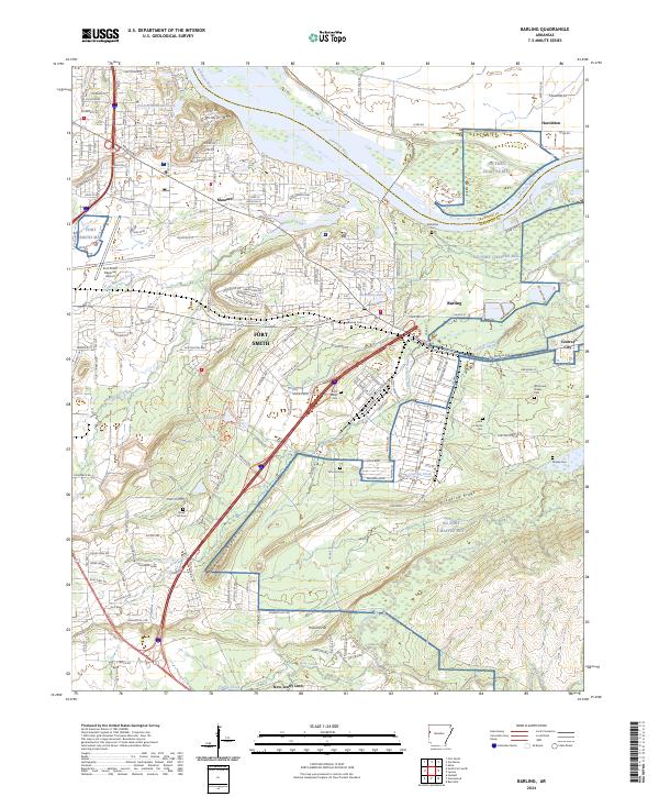
Fort Smith and Barling anchor this landscape along the south bank of the Arkansas River, where the industrial and residential fringes of the city meet the expansive military grounds of NG Fort Chaffee MTC. The terrain is defined by the east-west passage of the river and the prominent elevations of Wildcat Mtn and Donahoe Ridge. The map reveals a dense network of suburban development expanding through Massard toward the Fort Smith Regional Airport, while the eastern portion remains dominated by the training center's open lands and drainage systems like Vache Grasse Creek. For family historians, the sheet is particularly dense with small burial sites, including the Saint Marys Cem, Steep Hill Cem, and the White and Shelby Cem, illustrating the deep-rooted rural settlement patterns that preceded the region's modern growth.
Find a feature on this map
141 named features on this map. Tap any name to fly to it.
Don’t see what you’re looking for? This feature index may not catch every label — zoom into the map to look around manually.
Map Details
Editions of this 2024 Barling Map
This is the sole edition of this map. No revisions or reprints were ever made.
Historical Maps of Jenny Lind Through Time
5 maps found