
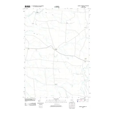
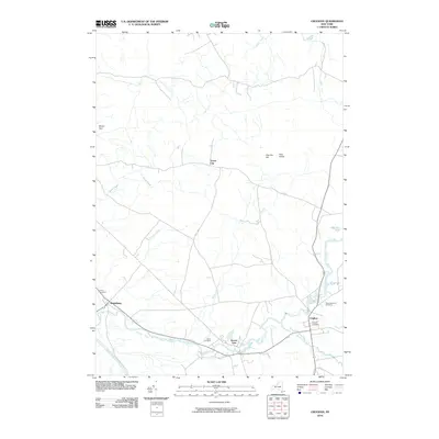
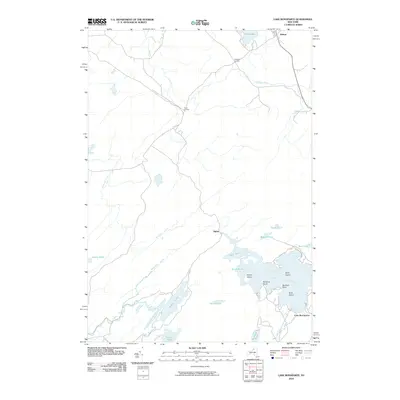
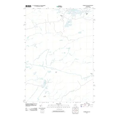
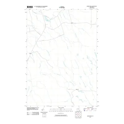
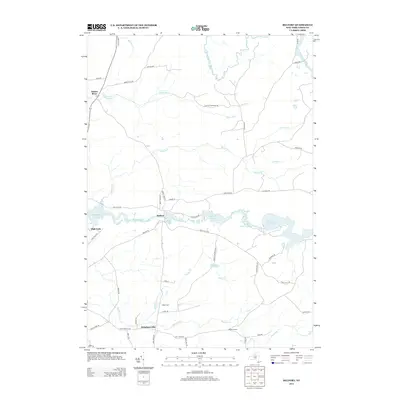
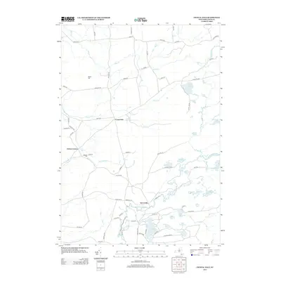
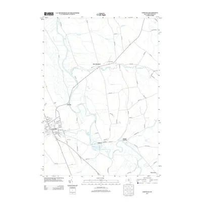
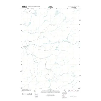
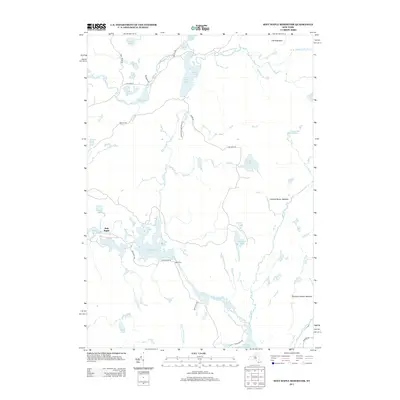
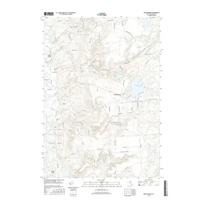
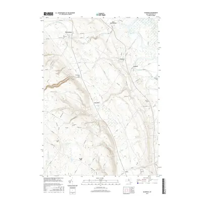
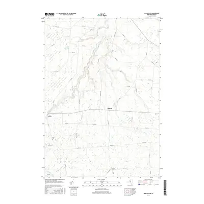
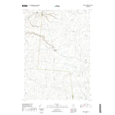
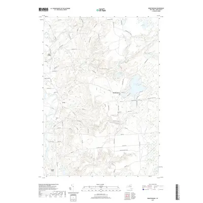
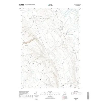
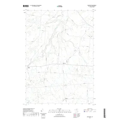
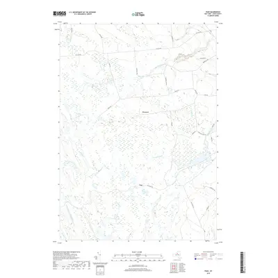
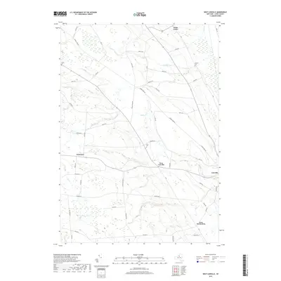
1949 Map of Barnes Corners
USGS Topo · Published 1949About this map
The boundary between Jefferson and Lewis Counties defines this post-war landscape, where small rural settlements are organized around the Tug Hill plateau's unique drainages. Deep glacial ravines, locally known as gulfs, carve through the townships of Rodman, Pinckney, Worth, and Montague. Notable geological features like Inman Gulf, Shingle Gulf, and Bear Gulf dictate the layout of the road network, which navigates around these steep incisions into the limestone.
Find a feature on this map
38 named features on this map. Tap any name to fly to it.
Don’t see what you’re looking for? This feature index may not catch every label — zoom into the map to look around manually.
Map Details
Editions of this 1949 Barnes Corners Map
This is the sole edition of this map. No revisions or reprints were ever made.
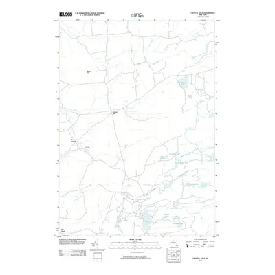
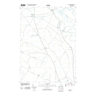
Historical Maps of Rodman Through Time
128 maps found

1906 Highmarket
Lewis County, NY

1911 Lowville
Lewis County, NY

1913 Lake Bonaparte
Lewis County, NY

1913 Lowville
Lewis County, NY

1916 Lake Bonaparte
Lewis County, NY

1943 Barnes Corners
Lewis County, NY

1943 High Market
Lewis County, NY

1943 New Boston
Lewis County, NY

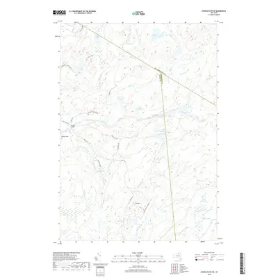
1943 North Osceola
Lewis County, NY

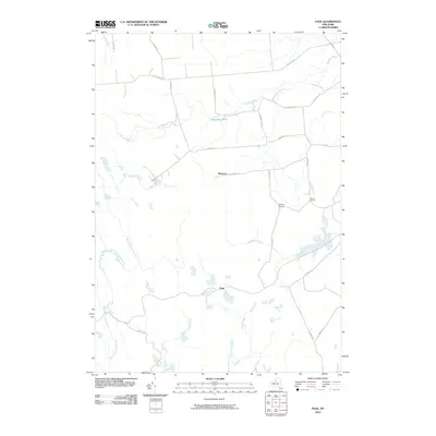
1943 Page
Lewis County, NY

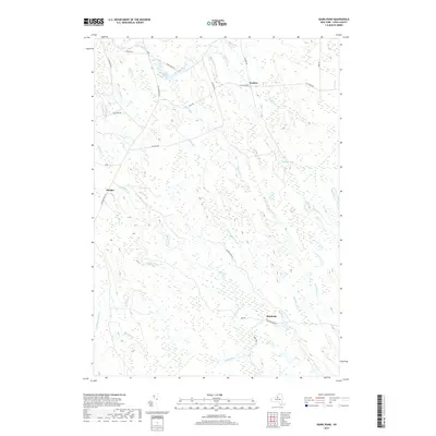
1943 Sears Pond
Lewis County, NY

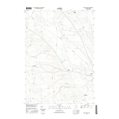
1943 West Lowville
Lewis County, NY

1944 Highmarket
Lewis County, NY

1944 North Osceola
Lewis County, NY

1944 Page
Lewis County, NY

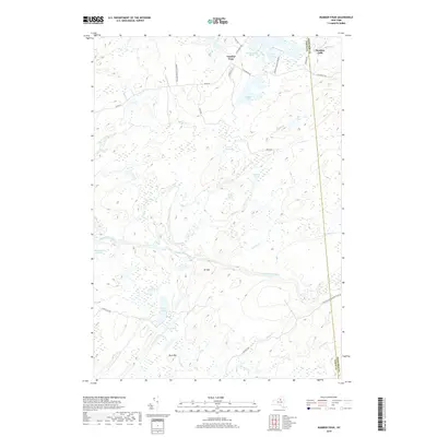
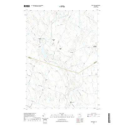
1944 Point Rock
Lewis County, NY
1949 Barnes Corners
Lewis County, NY

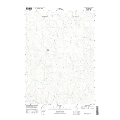
1951 Lake Bonaparte
Lewis County, NY

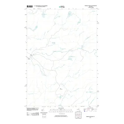
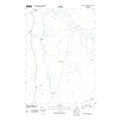
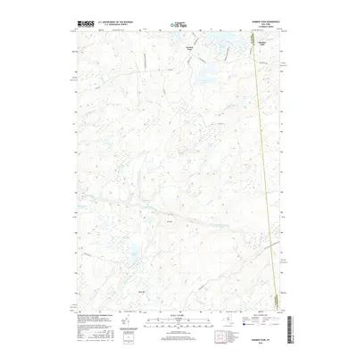
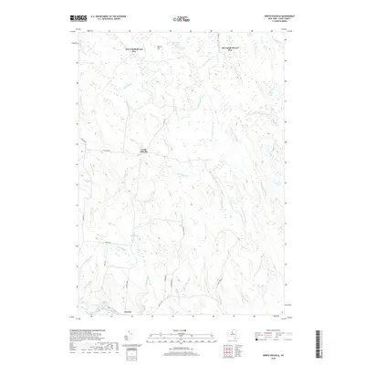
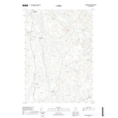
1951 Remington Corners
Lewis County, NY

1955 Point Rock
Lewis County, NY

1959 Barnes Corners
Lewis County, NY

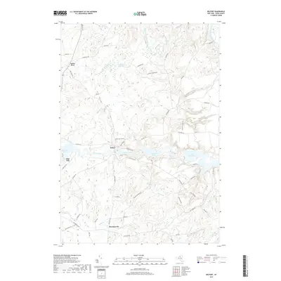
1966 Belfort
Lewis County, NY

1966 Brantingham
Lewis County, NY

1966 Croghan
Lewis County, NY

1966 Crystal Dale
Lewis County, NY

1966 Glenfield
Lewis County, NY

1966 Lowville
Lewis County, NY

1966 Oswegatchie SW
Lewis County, NY
2010 Barnes Corners
Lewis County, NY
2010 Belfort
Lewis County, NY
2010 Brantingham
Lewis County, NY
2010 Copper Lake
Lewis County, NY
2010 Croghan
Lewis County, NY
2010 Crystal Dale
Lewis County, NY
2010 Glenfield
Lewis County, NY
2010 High Market
Lewis County, NY
2010 Lake Bonaparte
Lewis County, NY
2010 Lowville
Lewis County, NY
2010 New Boston
Lewis County, NY
2010 North Osceola
Lewis County, NY
2010 Number Four
Lewis County, NY
2010 Oswegatchie SW
Lewis County, NY
2010 Page
Lewis County, NY

2010 Point Rock
Lewis County, NY
2010 Remington Corners
Lewis County, NY
2010 Sears Pond
Lewis County, NY
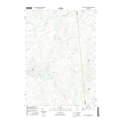
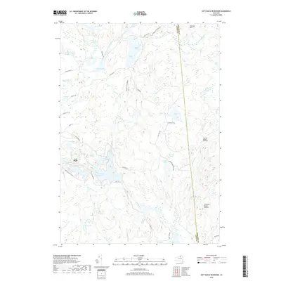
2010 Soft Maple Reservoir
Lewis County, NY
2010 West Lowville
Lewis County, NY
2013 Barnes Corners
Lewis County, NY
2013 Belfort
Lewis County, NY
2013 Brantingham
Lewis County, NY
2013 Copper Lake
Lewis County, NY
2013 Croghan
Lewis County, NY
2013 Crystal Dale
Lewis County, NY
2013 Glenfield
Lewis County, NY
2013 High Market
Lewis County, NY
2013 Lake Bonaparte
Lewis County, NY
2013 Lowville
Lewis County, NY
2013 New Boston
Lewis County, NY
2013 North Osceola
Lewis County, NY
2013 Number Four
Lewis County, NY
2013 Oswegatchie SW
Lewis County, NY
2013 Page
Lewis County, NY
2013 Point Rock
Lewis County, NY
2013 Remington Corners
Lewis County, NY

2013 Sears Pond
Lewis County, NY
2013 Soft Maple Reservoir
Lewis County, NY
2013 West Lowville
Lewis County, NY
2016 Barnes Corners
Lewis County, NY
2016 Belfort
Lewis County, NY
2016 Brantingham
Lewis County, NY
2016 Copper Lake
Lewis County, NY
2016 Croghan
Lewis County, NY
2016 Crystal Dale
Lewis County, NY
2016 Glenfield
Lewis County, NY
2016 High Market
Lewis County, NY
2016 Lake Bonaparte
Lewis County, NY
2016 Lowville
Lewis County, NY
2016 New Boston
Lewis County, NY
2016 North Osceola
Lewis County, NY
2016 Number Four
Lewis County, NY
2016 Oswegatchie SW
Lewis County, NY
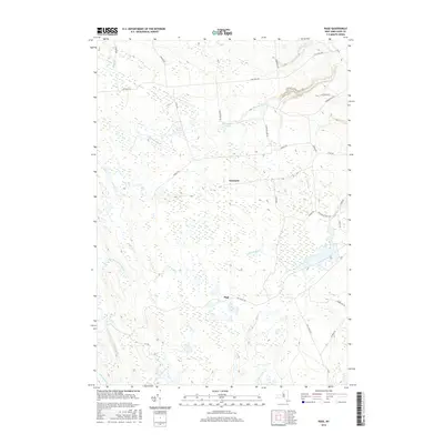
2016 Page
Lewis County, NY
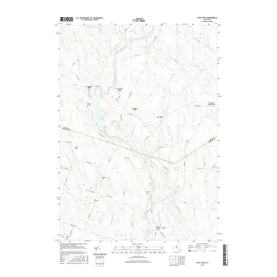
2016 Point Rock
Lewis County, NY
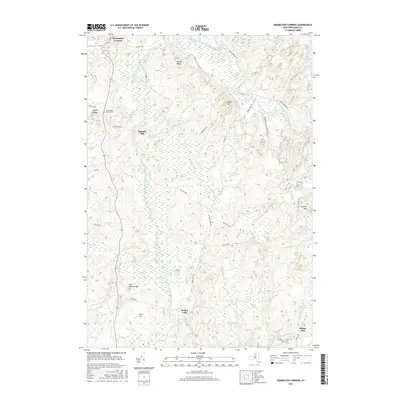
2016 Remington Corners
Lewis County, NY
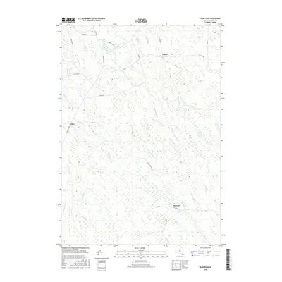
2016 Sears Pond
Lewis County, NY
2016 Soft Maple Reservoir
Lewis County, NY
2016 West Lowville
Lewis County, NY
2019 Barnes Corners
Lewis County, NY
2019 Belfort
Lewis County, NY
2019 Brantingham
Lewis County, NY
2019 Copper Lake
Lewis County, NY
2019 Croghan
Lewis County, NY
2019 Crystal Dale
Lewis County, NY
2019 Glenfield
Lewis County, NY
2019 High Market
Lewis County, NY
2019 Lake Bonaparte
Lewis County, NY
2019 Lowville
Lewis County, NY
2019 New Boston
Lewis County, NY
2019 North Osceola
Lewis County, NY
2019 Number Four
Lewis County, NY
2019 Oswegatchie SW
Lewis County, NY
2019 Page
Lewis County, NY
2019 Point Rock
Lewis County, NY
2019 Remington Corners
Lewis County, NY
2019 Sears Pond
Lewis County, NY
2019 Soft Maple Reservoir
Lewis County, NY
2019 West Lowville
Lewis County, NY

2023 Barnes Corners
Lewis County, NY

2023 Belfort
Lewis County, NY

2023 Brantingham
Lewis County, NY

2023 Copper Lake
Lewis County, NY

2023 Croghan
Lewis County, NY

2023 Crystal Dale
Lewis County, NY

2023 Glenfield
Lewis County, NY

2023 High Market
Lewis County, NY

2023 Lake Bonaparte
Lewis County, NY

2023 Lowville
Lewis County, NY

2023 New Boston
Lewis County, NY

2023 North Osceola
Lewis County, NY

2023 Number Four
Lewis County, NY

2023 Oswegatchie SW
Lewis County, NY

2023 Page
Lewis County, NY

2023 Point Rock
Lewis County, NY

2023 Remington Corners
Lewis County, NY

2023 Sears Pond
Lewis County, NY

2023 Soft Maple Reservoir
Lewis County, NY

2023 West Lowville
Lewis County, NY