
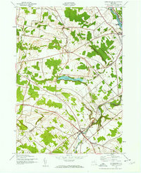
1942 Map of Copenhagen
USGS Topo · Published 1960About this map
Deer River and the Black River define the local industry and geography of this northern New York landscape during the early 1940s. The village of Copenhagen serves as a primary hub in the south, while the northern boundary is anchored by the industrial and rail activity at Carthage and West Carthage. Significant water features like Kings Falls and High Falls mark the steep descent of the local waterways, providing a glimpse into the hydro-power potential of the era.
Find a feature on this map
35 named features on this map. Tap any name to fly to it.
Don’t see what you’re looking for? This feature index may not catch every label — zoom into the map to look around manually.
Map Details
Editions of this 1942 Copenhagen Map
2 editions found
Other maps of this area

1895 · Watertown
USGS Topo · 1:62,500

1898 · Watertown
USGS Topo · 1:62,500

1902 · Carthage
USGS Topo · 1:62,500

1903 · Theresa
USGS Topo · 1:62,500

1904 · Carthage
USGS Topo · 1:62,500

1908 · Watertown
USGS Topo · 1:62,500

1909 · Watertown
USGS Topo · 1:62,500

1911 · Antwerp
USGS Topo · 1:62,500
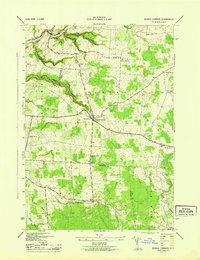
1943 · Barnes Corners
USGS Topo · 1:31,680

1943 · Copenhagen
USGS Topo · 1:31,680