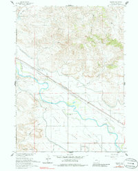
1960 Map of Barnes
USGS Topo · Published 1986About this map
The North Platte River carves a serpentine path through this 1960 landscape, serving as the central artery for a complex network of early irrigation and transportation. Evidence of the region’s frontier history is preserved in the location of the Grattan Massacre Historical Mon and the expansive boundaries of the Fort Laramie Military Reservation (Aband). The terrain south of the river, known as London Flats, is defined by its agricultural utility, supported by the Grattan Ditch and the Lucerne Canal.
Find a feature on this map
32 named features on this map. Tap any name to fly to it.
Don’t see what you’re looking for? This feature index may not catch every label — zoom into the map to look around manually.
Map Details
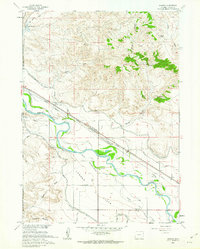
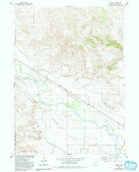
Editions of this 1960 Barnes Map
3 editions found
Other maps of this area

1896 · Patrick
USGS Topo · 1:125,000

1896 · Hartville
USGS Topo · 1:125,000

1901 · Hartville
USGS Topo · 1:125,000

1950 · Rockeagle
USGS Topo · 1:24,000

1950 · Casebier Hill
USGS Topo · 1:24,000

1950 · Fort Laramie
USGS Topo · 1:24,000

1952 · Fort Laramie
USGS Topo · 1:24,000

1954 · Torrington
USGS Topo · 1:250,000

1958 · Torrington
USGS Topo · 1:250,000

1960 · Habig Spring
USGS Topo · 1:24,000