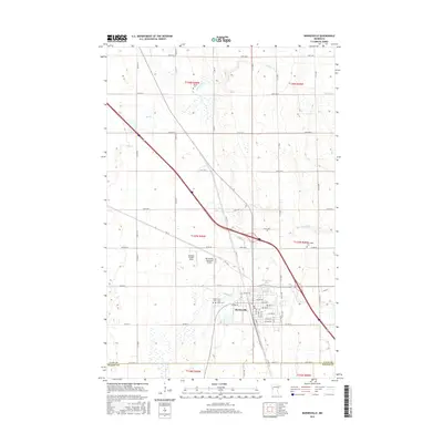
2016 Map of Barnesville
USGS Topo · Published 2016About this map
Barnesville serves as the primary hub in this portion of Clay County, situated where the prairie landscape is divided by the waters of Whisky Cr. The town's grid is well-defined by streets such as Main Ave E and Front St S, showing a concentrated residential and commercial center surrounded by expansive agricultural plots. This 2016 survey captures the community’s infrastructure including the Barnesville Municipal Airport and the nearby Mathew Private Field.
Find a feature on this map
66 named features on this map. Tap any name to fly to it.
Don’t see what you’re looking for? This feature index may not catch every label — zoom into the map to look around manually.
Map Details
Editions of this 2016 Barnesville Map
This is the sole edition of this map. No revisions or reprints were ever made.
Other maps of this area

1895 · Fargo
USGS Topo · 1:125,000

1897 · Fargo
USGS Topo · 1:125,000

1919 · Barnesville
USGS Topo · 1:62,500

1919 · Hawley
USGS Topo · 1:62,500

1952 · Barnesville
USGS Topo · 1:62,500

1953 · Fargo
USGS Topo · 1:250,000

1956 · Fargo
USGS Topo · 1:250,000

1964 · Baker
USGS Topo · 1:24,000
1964 · Glyndon South
USGS Topo · 1:24,000
1966 · Wolverton SE
USGS Topo · 1:24,000