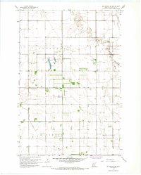
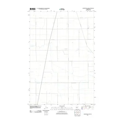
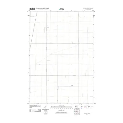
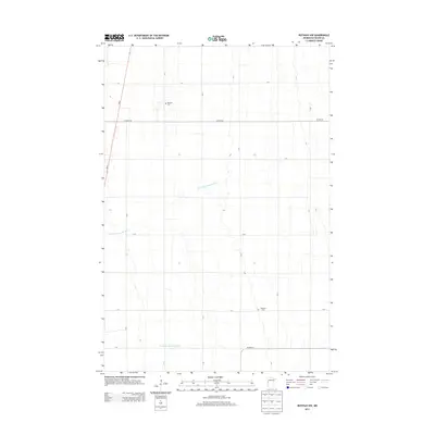
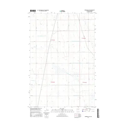
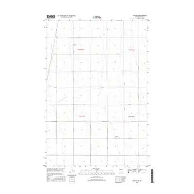
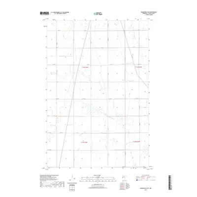
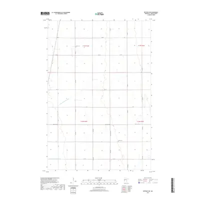
1966 Map of Wolverton SE
USGS Topo · Published 1967About this map
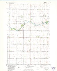
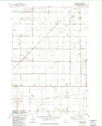
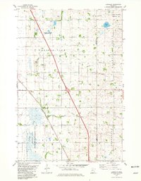
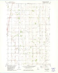
Deerhorn Cem sits as a quiet landmark within the expansive agricultural grid of Wilkin County during the mid-1960s. This survey of the rural townships of Deerhorn, Atherton, Mitchell, and Manston reveals a landscape heavily modified for drainage and early aviation. The South Branch Buffalo River and Deerhorn River wind through the sections, supplemented by extensive civil engineering projects like County Ditch No 13 and State Ditch No 15. The presence of a Landing Strip and a separate Landing Field alongside scattered Gravel Pits reflects the area's mid-century reliance on local transport and resource extraction. The map provides a detailed view of section lines and individual farmstead placements that defined the prairie farming economy of the era.
Find a feature on this map
14 named features on this map. Tap any name to fly to it.
Don’t see what you’re looking for? This feature index may not catch every label — zoom into the map to look around manually.
Map Details
Editions of this 1966 Wolverton SE Map
This is the sole edition of this map. No revisions or reprints were ever made.
Historical Maps of Wilkin County Through Time
48 maps found
1966 Wolverton SE
Wilkin County, MN
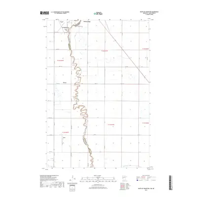
1973 South of Wahpeton
Wilkin County, MN
1973 Wahpeton NE
Wilkin County, MN
1981 Barnesville SW
Wilkin County, MN
1981 Campbell NE
Wilkin County, MN
1981 Everdell
Wilkin County, MN
1981 Lawndale
Wilkin County, MN
1981 Rothsay NW
Wilkin County, MN
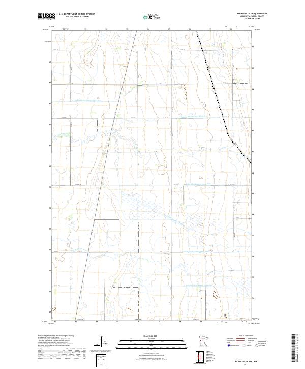
2010 Barnesville SW
Wilkin County, MN
2010 Campbell NE
Wilkin County, MN
2010 Everdell
Wilkin County, MN
2010 Lawndale
Wilkin County, MN
2010 Rothsay NW
Wilkin County, MN
2010 Wahpeton NE
Wilkin County, MN
2010 Wolverton SE
Wilkin County, MN
2011 South of Wahpeton
Wilkin County, MN
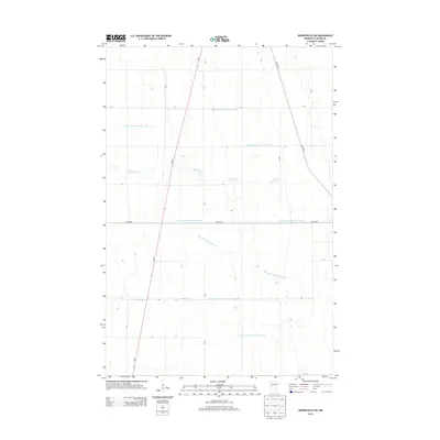
2013 Barnesville SW
Wilkin County, MN
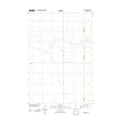
2013 Campbell NE
Wilkin County, MN
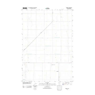
2013 Everdell
Wilkin County, MN
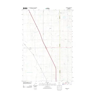
2013 Lawndale
Wilkin County, MN
2013 Rothsay NW
Wilkin County, MN
2013 South of Wahpeton
Wilkin County, MN
2013 Wahpeton NE
Wilkin County, MN
2013 Wolverton SE
Wilkin County, MN
2016 Barnesville SW
Wilkin County, MN
2016 Campbell NE
Wilkin County, MN
2016 Everdell
Wilkin County, MN
2016 Lawndale
Wilkin County, MN
2016 Rothsay NW
Wilkin County, MN
2016 South of Wahpeton
Wilkin County, MN
2016 Wahpeton NE
Wilkin County, MN
2016 Wolverton SE
Wilkin County, MN
2019 Barnesville SW
Wilkin County, MN
2019 Campbell NE
Wilkin County, MN
2019 Everdell
Wilkin County, MN
2019 Lawndale
Wilkin County, MN
2019 Rothsay NW
Wilkin County, MN
2019 South of Wahpeton
Wilkin County, MN
2019 Wahpeton NE
Wilkin County, MN
2019 Wolverton SE
Wilkin County, MN
2022 Barnesville SW
Wilkin County, MN
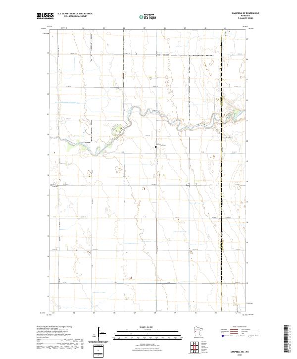
2022 Campbell NE
Wilkin County, MN
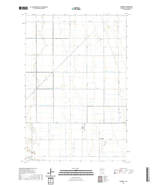
2022 Everdell
Wilkin County, MN
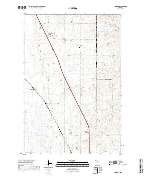
2022 Lawndale
Wilkin County, MN
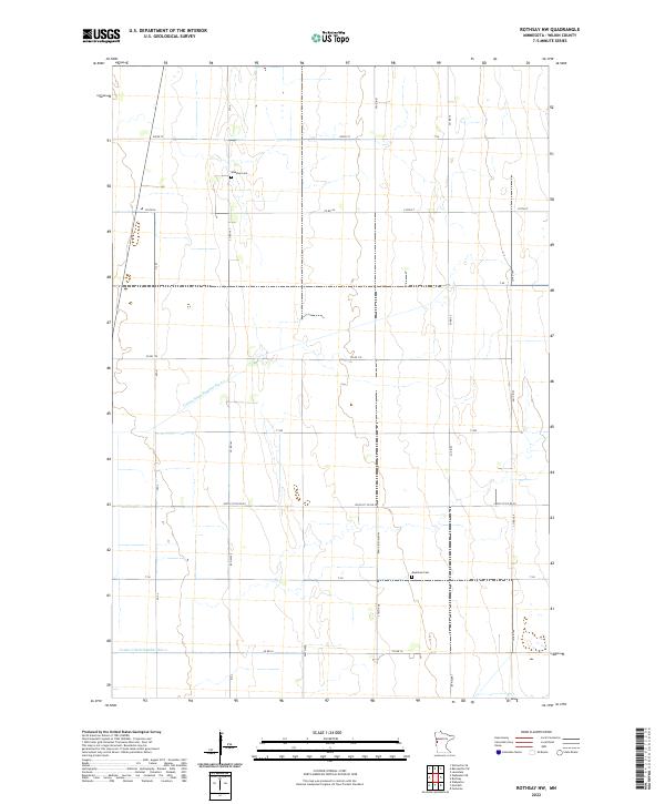
2022 Rothsay NW
Wilkin County, MN
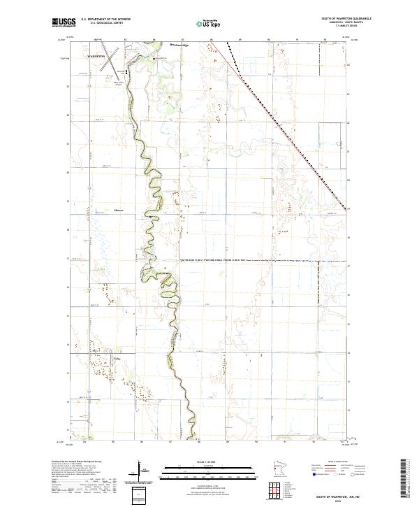
2022 South of Wahpeton
Wilkin County, MN
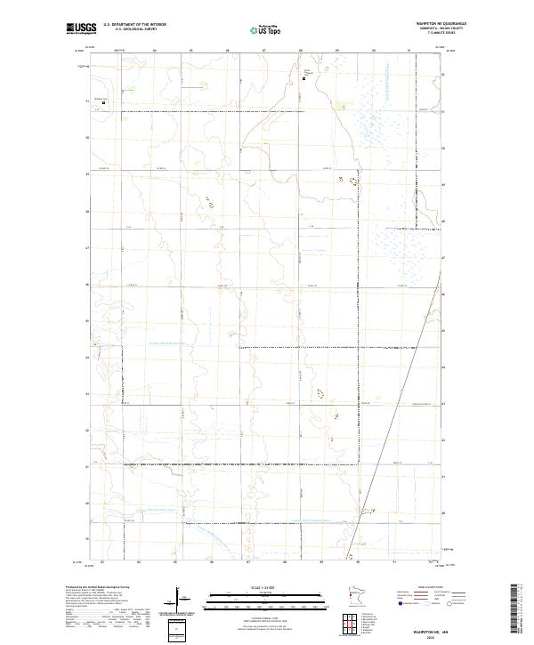
2022 Wahpeton NE
Wilkin County, MN
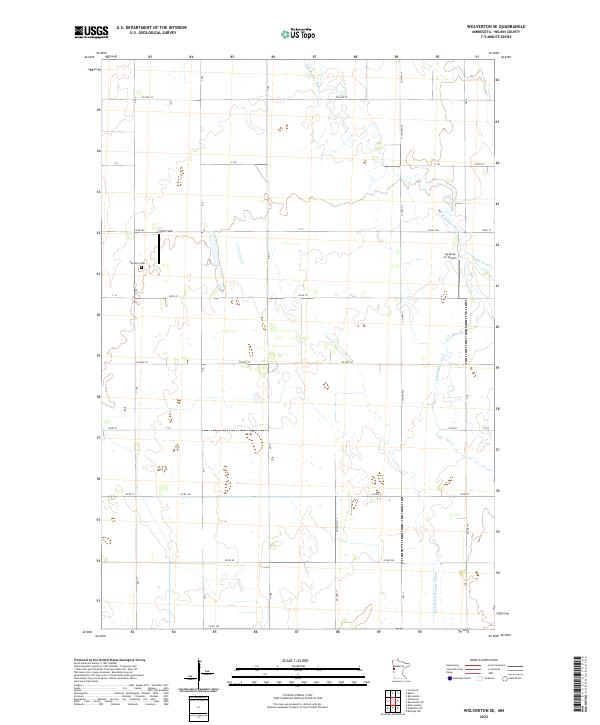
2022 Wolverton SE
Wilkin County, MN