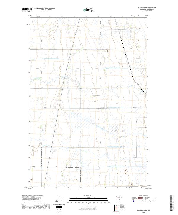
2022 Map of Barnesville SW
USGS Topo · Published 2022About this map
Hydrological engineering defines the prairie landscape of Wilkin County in this recent survey. The land is intricately partitioned by a network of drainage systems, most notably State Ditch Number Fourteen and a series of numbered judicial ditches. These man-made channels work in tandem with natural waterways like the S Br Buffalo River and Deerhorn Cr to manage the water levels of this flat agricultural region.
Find a feature on this map
38 named features on this map. Tap any name to fly to it.
Don’t see what you’re looking for? This feature index may not catch every label — zoom into the map to look around manually.
Map Details
Editions of this 2022 Barnesville SW Map
This is the sole edition of this map. No revisions or reprints were ever made.
Other maps of this area

1895 · Fargo
USGS Topo · 1:125,000

1897 · Fargo
USGS Topo · 1:125,000

1904 · Wahpeton
USGS Topo · 1:125,000

1919 · Rothsay
USGS Topo · 1:62,500

1919 · Barnesville
USGS Topo · 1:62,500

1951 · Rothsay
USGS Topo · 1:62,500

1952 · Barnesville
USGS Topo · 1:62,500

1953 · Fargo
USGS Topo · 1:250,000

1956 · Fargo
USGS Topo · 1:250,000

1964 · Baker
USGS Topo · 1:24,000