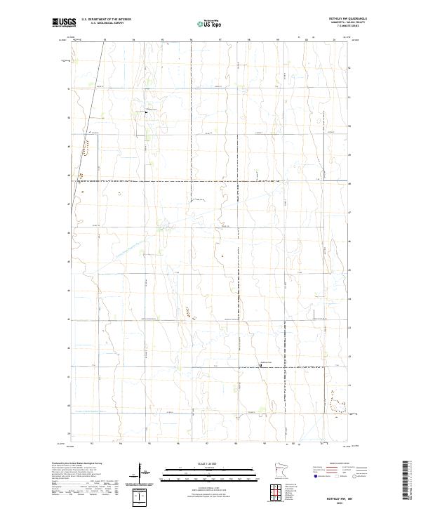
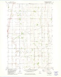
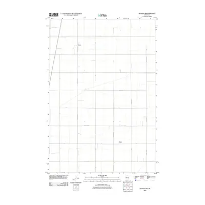
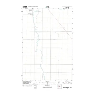
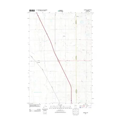
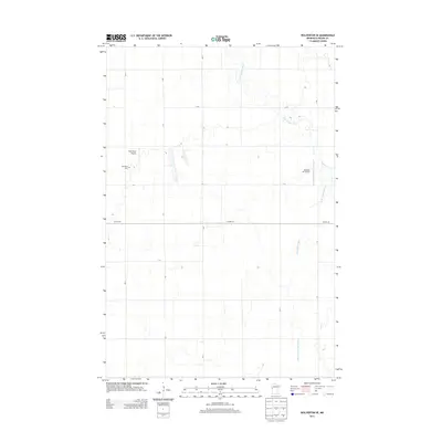
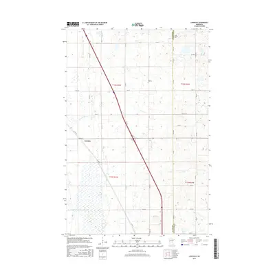
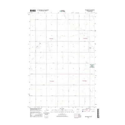
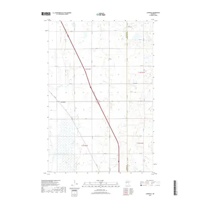
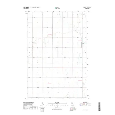
2022 Map of Rothsay NW
USGS Topo · Published 2022About this map
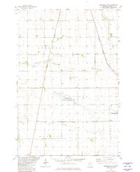
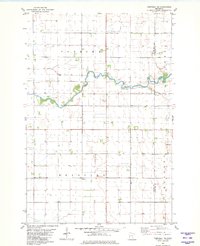
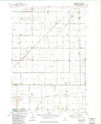
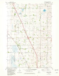
Agricultural patterns and water management systems define this section of Wilkin County, where the landscape is meticulously carved by drainage engineering like County Ditch Number Six-a and County Ditch Number One-a. These man-made watercourses reflect the essential efforts to reclaim and maintain productive prairie farmland in western Minnesota. For those tracing family histories, the map preserves the locations of vital local landmarks such as Manston Cem in the northern reaches and Meadows Cem further south. The land is organized into a rigid grid of township boundaries, including t135n r46w and t134n r45w, intersected by a network of rural routes such as Co Rd 16 and 250th Ave. This layout illustrates a highly functional rural environment where every road and ditch serves the local farming economy.
Find a feature on this map
29 named features on this map. Tap any name to fly to it.
Don’t see what you’re looking for? This feature index may not catch every label — zoom into the map to look around manually.
Map Details
Editions of this 2022 Rothsay NW Map
This is the sole edition of this map. No revisions or reprints were ever made.
Historical Maps of Wilkin County Through Time
48 maps found
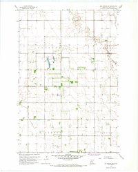
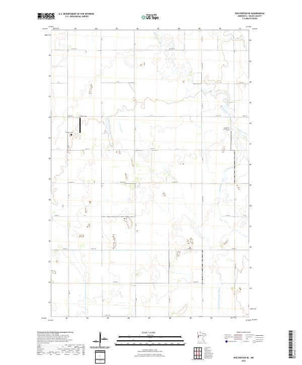
1966 Wolverton SE
Wilkin County, MN
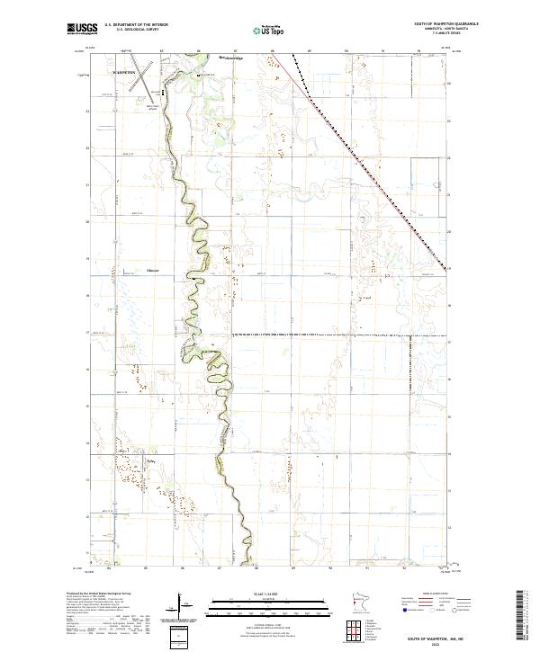
1973 South of Wahpeton
Wilkin County, MN
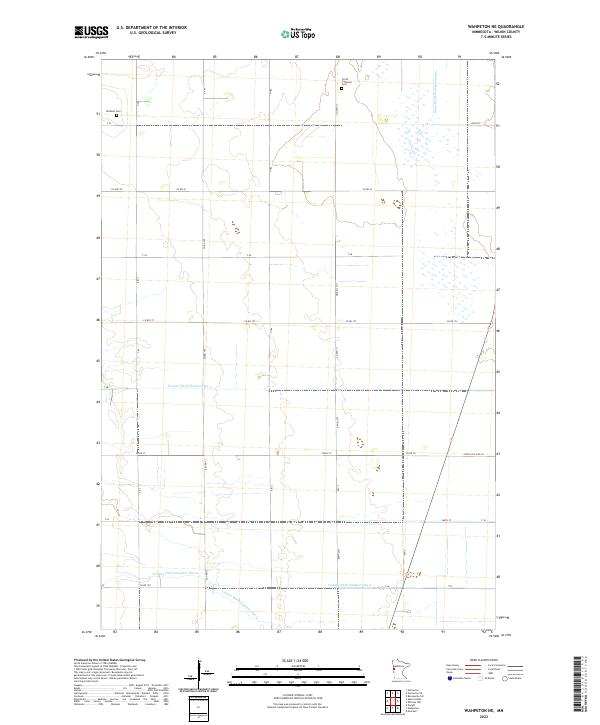
1973 Wahpeton NE
Wilkin County, MN
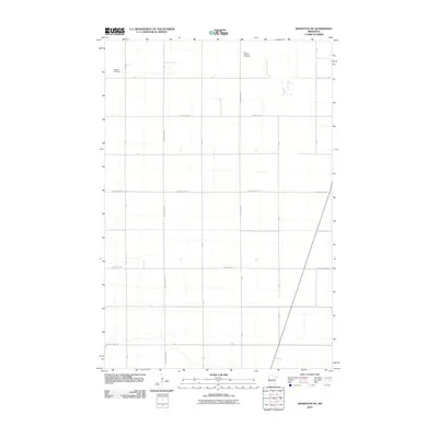
1981 Barnesville SW
Wilkin County, MN
1981 Campbell NE
Wilkin County, MN
1981 Everdell
Wilkin County, MN
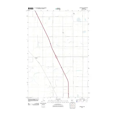
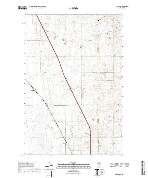
1981 Lawndale
Wilkin County, MN
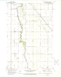
1981 Rothsay NW
Wilkin County, MN
2010 Barnesville SW
Wilkin County, MN
2010 Campbell NE
Wilkin County, MN
2010 Everdell
Wilkin County, MN
2010 Lawndale
Wilkin County, MN
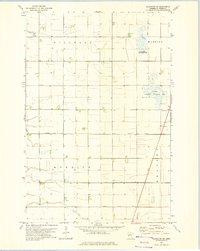
2010 Rothsay NW
Wilkin County, MN
2010 Wahpeton NE
Wilkin County, MN
2010 Wolverton SE
Wilkin County, MN
2011 South of Wahpeton
Wilkin County, MN
2013 Barnesville SW
Wilkin County, MN
2013 Campbell NE
Wilkin County, MN
2013 Everdell
Wilkin County, MN
2013 Lawndale
Wilkin County, MN
2013 Rothsay NW
Wilkin County, MN
2013 South of Wahpeton
Wilkin County, MN
2013 Wahpeton NE
Wilkin County, MN
2013 Wolverton SE
Wilkin County, MN
2016 Barnesville SW
Wilkin County, MN
2016 Campbell NE
Wilkin County, MN
2016 Everdell
Wilkin County, MN
2016 Lawndale
Wilkin County, MN
2016 Rothsay NW
Wilkin County, MN
2016 South of Wahpeton
Wilkin County, MN
2016 Wahpeton NE
Wilkin County, MN
2016 Wolverton SE
Wilkin County, MN
2019 Barnesville SW
Wilkin County, MN
2019 Campbell NE
Wilkin County, MN
2019 Everdell
Wilkin County, MN
2019 Lawndale
Wilkin County, MN
2019 Rothsay NW
Wilkin County, MN
2019 South of Wahpeton
Wilkin County, MN
2019 Wahpeton NE
Wilkin County, MN
2019 Wolverton SE
Wilkin County, MN
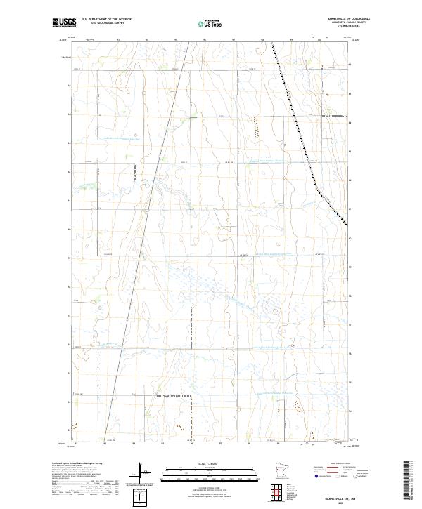
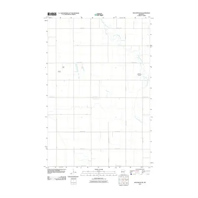
2022 Barnesville SW
Wilkin County, MN
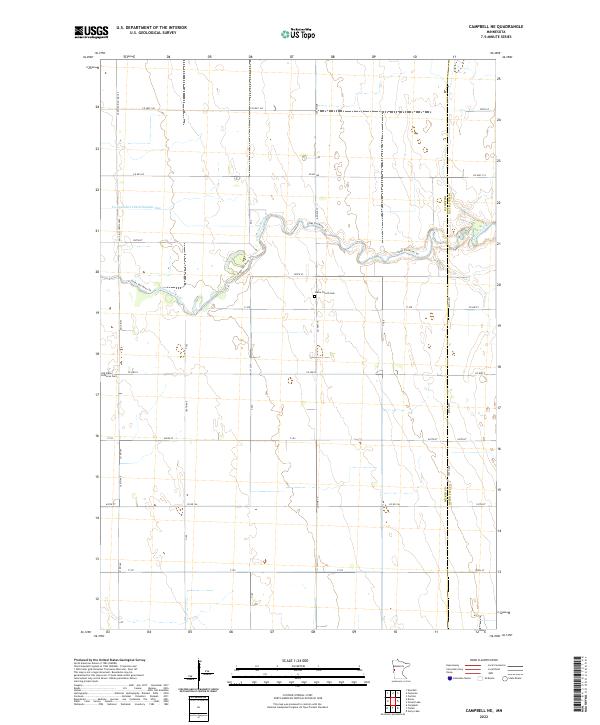
2022 Campbell NE
Wilkin County, MN
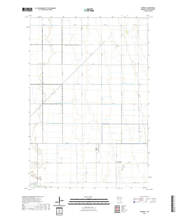
2022 Everdell
Wilkin County, MN
2022 Lawndale
Wilkin County, MN
2022 Rothsay NW
Wilkin County, MN
2022 South of Wahpeton
Wilkin County, MN
2022 Wahpeton NE
Wilkin County, MN
2022 Wolverton SE
Wilkin County, MN