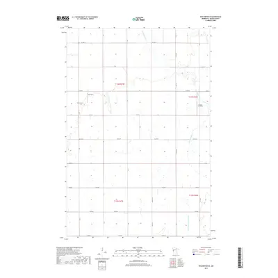
2019 Map of Wolverton SE
USGS Topo · Published 2019About this map
S Br Buffalo River and its tributary Deerhorn Cr meander through this portion of Wilkin County, defining the drainage patterns of a landscape marked by systematic agricultural planning. The map reveals a grid of rural roads and section lines typical of the Red River Valley, where connectivity is maintained through routes like Co Hwy 11 and Co Hwy 30. Local aviation and cemetery sites provide specific points of interest for historical research. Nord Field and the Ag Spray Inc Airport highlight the importance of aerial application in this farming region, while the Deerhorn Cem serves as a significant landmark for genealogical study. The presence of State Ditch Number Fifteen further illustrates the engineered water management systems required to sustain the local economy.
Find a feature on this map
23 named features on this map. Tap any name to fly to it.
Don’t see what you’re looking for? This feature index may not catch every label — zoom into the map to look around manually.
Map Details
Editions of this 2019 Wolverton SE Map
This is the sole edition of this map. No revisions or reprints were ever made.
Other maps of this area

1895 · Fargo
USGS Topo · 1:125,000

1897 · Fargo
USGS Topo · 1:125,000

1904 · Wahpeton
USGS Topo · 1:125,000

1919 · Rothsay
USGS Topo · 1:62,500

1919 · Barnesville
USGS Topo · 1:62,500

1951 · Rothsay
USGS Topo · 1:62,500

1952 · Barnesville
USGS Topo · 1:62,500

1953 · Fargo
USGS Topo · 1:250,000

1956 · Fargo
USGS Topo · 1:250,000

1964 · Baker
USGS Topo · 1:24,000