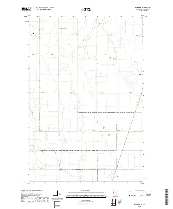
2022 Map of Wahpeton NE
USGS Topo · Published 2022About this map
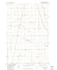
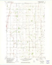
Agricultural drainage systems define the landscape of this Wilkin County region, where an intricate network of man-made waterways including State Ditch Number Fifteen and County Ditch Number Six-a manages the low-lying terrain. These channels reflect decades of land management designed to support the sprawling farmsteads that populate the townships of t135n r47w and t134n r47w. Cultural landmarks are centered on historic burial grounds, most notably Mitchell Cem in the northwest and Christ Lutheran Cem near the northern boundary, which serve as primary points of interest for genealogists tracing early families of the area.
Find a feature on this map
36 named features on this map. Tap any name to fly to it.
Don’t see what you’re looking for? This feature index may not catch every label — zoom into the map to look around manually.
Map Details
Editions of this 2022 Wahpeton NE Map
This is the sole edition of this map. No revisions or reprints were ever made.
Historical Maps of Wilkin County Through Time
48 maps found
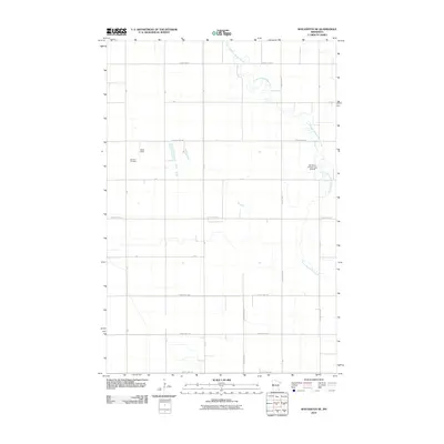
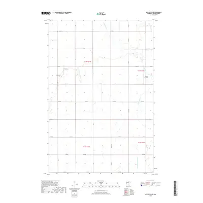
1966 Wolverton SE
Wilkin County, MN
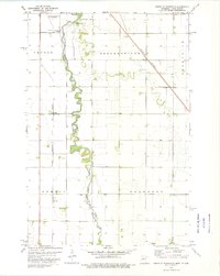
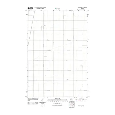
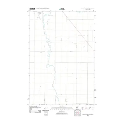
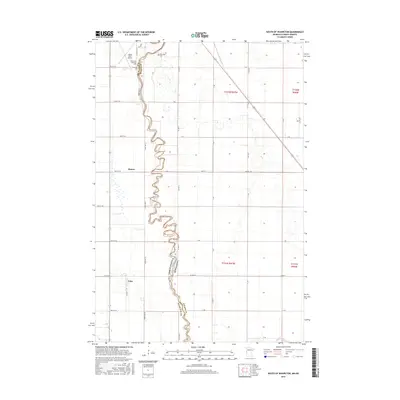
1973 South of Wahpeton
Wilkin County, MN
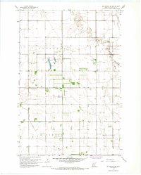
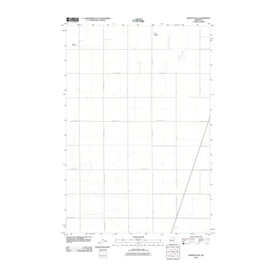
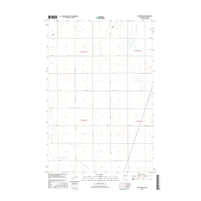
1973 Wahpeton NE
Wilkin County, MN
1981 Barnesville SW
Wilkin County, MN
1981 Campbell NE
Wilkin County, MN
1981 Everdell
Wilkin County, MN
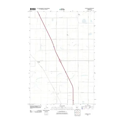
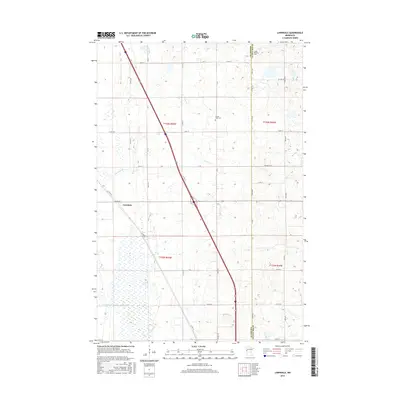
1981 Lawndale
Wilkin County, MN
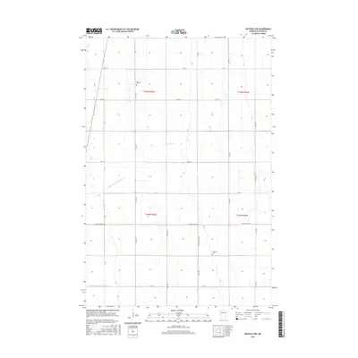
1981 Rothsay NW
Wilkin County, MN
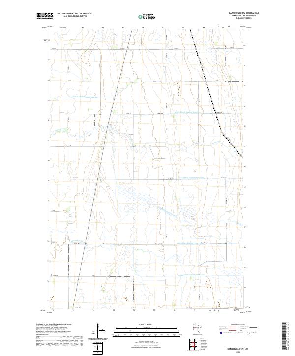
2010 Barnesville SW
Wilkin County, MN
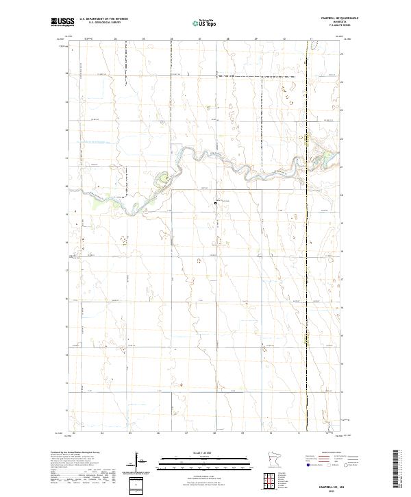
2010 Campbell NE
Wilkin County, MN
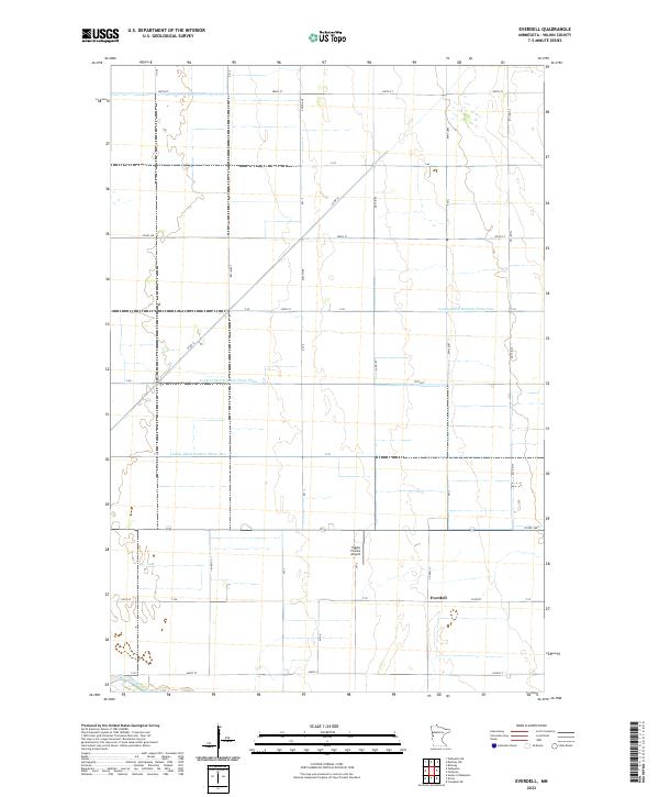
2010 Everdell
Wilkin County, MN
2010 Lawndale
Wilkin County, MN
2010 Rothsay NW
Wilkin County, MN
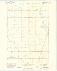
2010 Wahpeton NE
Wilkin County, MN
2010 Wolverton SE
Wilkin County, MN
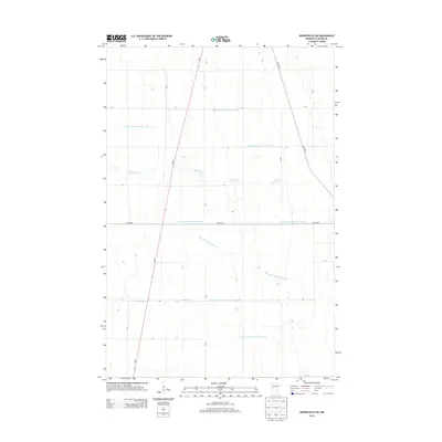
2011 South of Wahpeton
Wilkin County, MN
2013 Barnesville SW
Wilkin County, MN
2013 Campbell NE
Wilkin County, MN
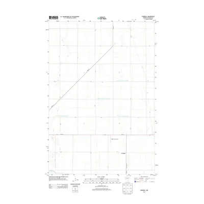
2013 Everdell
Wilkin County, MN
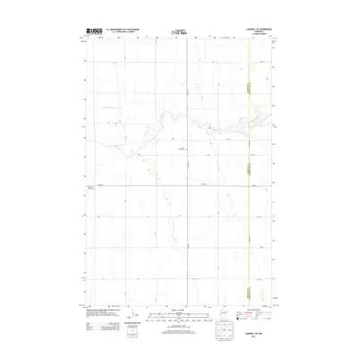
2013 Lawndale
Wilkin County, MN
2013 Rothsay NW
Wilkin County, MN
2013 South of Wahpeton
Wilkin County, MN
2013 Wahpeton NE
Wilkin County, MN
2013 Wolverton SE
Wilkin County, MN
2016 Barnesville SW
Wilkin County, MN
2016 Campbell NE
Wilkin County, MN
2016 Everdell
Wilkin County, MN
2016 Lawndale
Wilkin County, MN
2016 Rothsay NW
Wilkin County, MN
2016 South of Wahpeton
Wilkin County, MN
2016 Wahpeton NE
Wilkin County, MN
2016 Wolverton SE
Wilkin County, MN
2019 Barnesville SW
Wilkin County, MN
2019 Campbell NE
Wilkin County, MN
2019 Everdell
Wilkin County, MN
2019 Lawndale
Wilkin County, MN
2019 Rothsay NW
Wilkin County, MN
2019 South of Wahpeton
Wilkin County, MN
2019 Wahpeton NE
Wilkin County, MN
2019 Wolverton SE
Wilkin County, MN
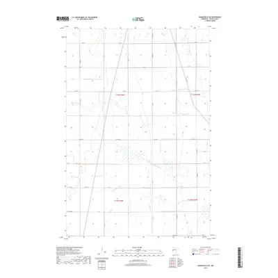
2022 Barnesville SW
Wilkin County, MN
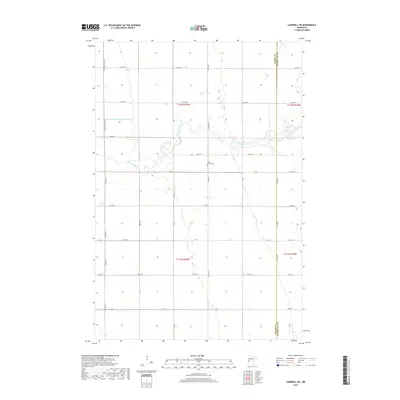
2022 Campbell NE
Wilkin County, MN
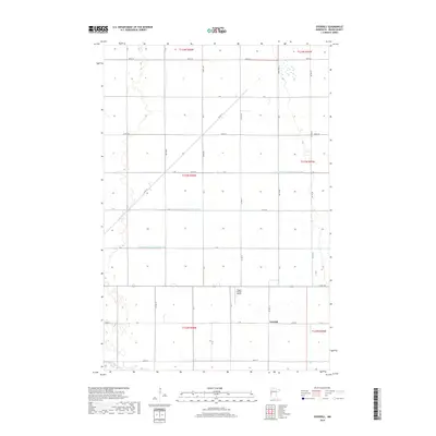
2022 Everdell
Wilkin County, MN
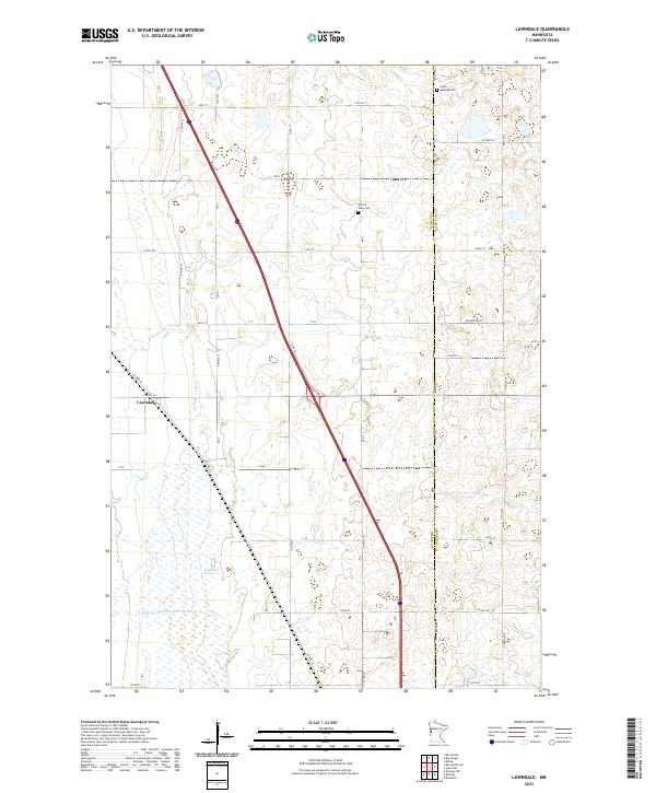
2022 Lawndale
Wilkin County, MN
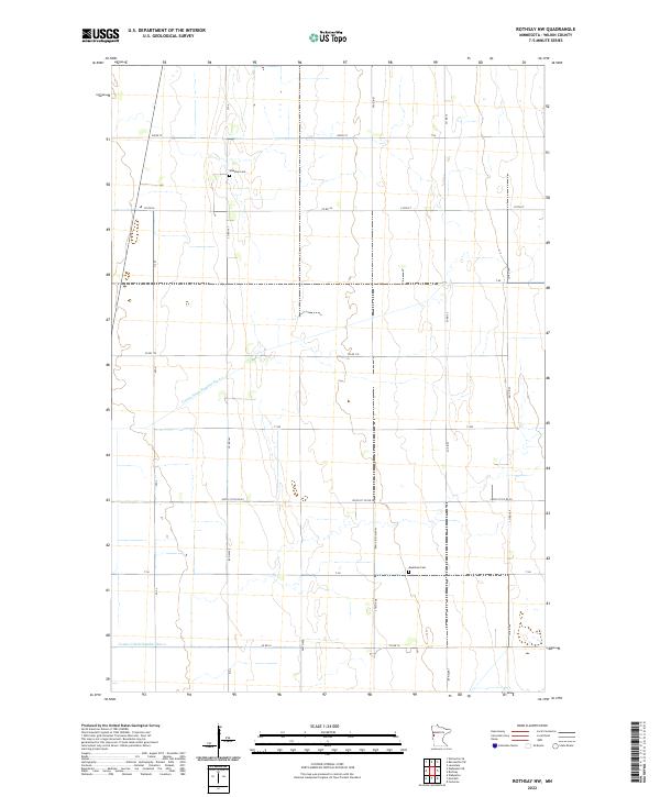
2022 Rothsay NW
Wilkin County, MN
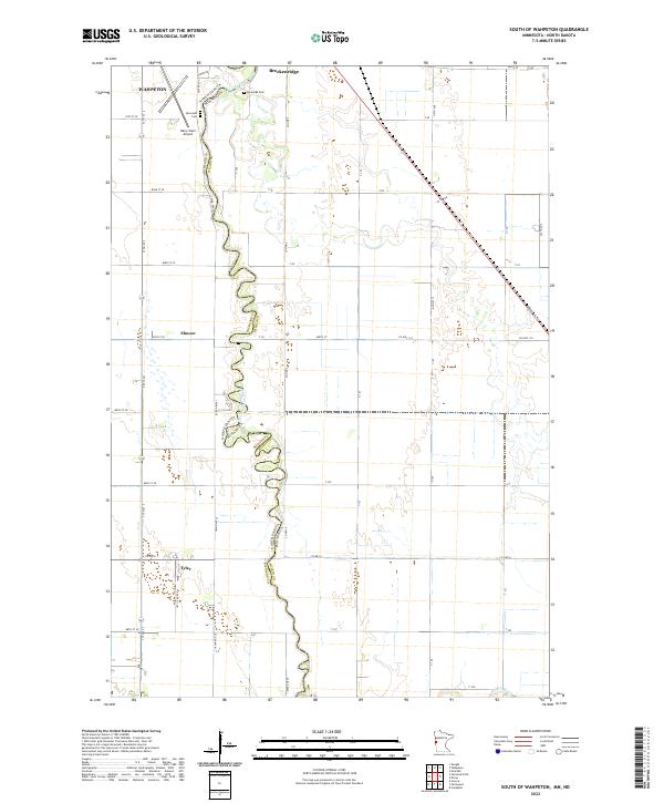
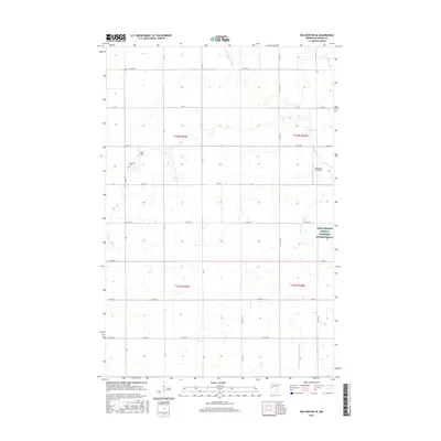
2022 South of Wahpeton
Wilkin County, MN
2022 Wahpeton NE
Wilkin County, MN
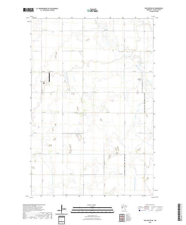
2022 Wolverton SE
Wilkin County, MN