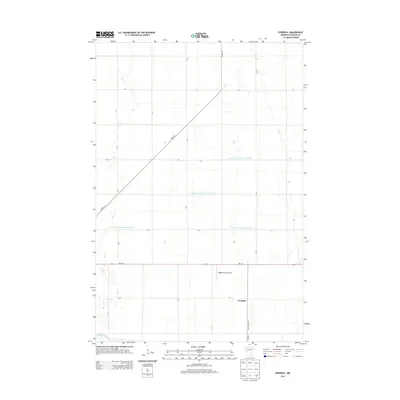
2013 Map of Everdell
USGS Topo · Published 2013About this map
Everdell and its surrounding agricultural landscape dominate this Wilkin County study, revealing a highly engineered drainage system essential for farming the Red River Valley region. A network of man-made waterways, including County Ditch Number Thirty One, County Ditch Number Three-Three, and County Ditch Number Three-Two, illustrates the extensive efforts to manage water across this flat terrain. The southern edge of the map is defined by the winding course of the Otter Tail River, providing a natural contrast to the rigid grid of township roads like T-196 and T-69. Transportation and local infrastructure are represented by MN-210 and the Yaggie Private Airport, reflecting the area's continued reliance on both regional highway access and private aviation for large-scale farming operations.
Find a feature on this map
25 named features on this map. Tap any name to fly to it.
Don’t see what you’re looking for? This feature index may not catch every label — zoom into the map to look around manually.
Map Details
Editions of this 2013 Everdell Map
This is the sole edition of this map. No revisions or reprints were ever made.
Other maps of this area

1904 · Wahpeton
USGS Topo · 1:125,000

1919 · Rothsay
USGS Topo · 1:62,500

1951 · Rothsay
USGS Topo · 1:62,500

1951 · Campbell
USGS Topo · 1:62,500

1953 · Fargo
USGS Topo · 1:250,000

1956 · Fargo
USGS Topo · 1:250,000

1964 · Wahpeton
USGS Topo · 1:24,000
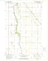
1973 · South of Wahpeton
USGS Topo · 1:24,000
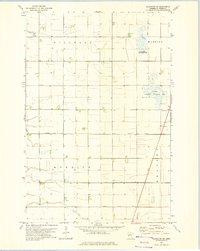
1973 · Wahpeton NE
USGS Topo · 1:24,000
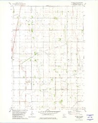
1981 · Rothsay NW
USGS Topo · 1:24,000