
1964 Map of Wahpeton
USGS Topo · Published 1966About this map
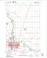
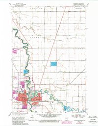
The confluence of the Bois de Sioux River and the Otter Tail River forms the Red River of the North, a central landscape feature that defines the twin cities of Wahpeton, North Dakota, and Breckenridge, Minnesota. This mid-1960s survey documents a sophisticated regional hub, showing the State School of Science and the Wahpeton Indian Sch alongside institutional landmarks like the Home for the Aged. The intricate riverbanks are lined with recreation and industry, from the Bois de Sioux Country Club and Welles Park to numerous Gravel Pits and Sewage Disposal Ponds.
Find a feature on this map
47 named features on this map. Tap any name to fly to it.
Don’t see what you’re looking for? This feature index may not catch every label — zoom into the map to look around manually.
Map Details
Editions of this 1964 Wahpeton Map
3 editions found
Other maps of this area

1904 · Wahpeton
USGS Topo · 1:125,000

1919 · Rothsay
USGS Topo · 1:62,500

1951 · Rothsay
USGS Topo · 1:62,500

1951 · Campbell
USGS Topo · 1:62,500

1953 · Fargo
USGS Topo · 1:250,000

1956 · Fargo
USGS Topo · 1:250,000

1964 · Fairmount NW
USGS Topo · 1:24,000

1964 · Dwight
USGS Topo · 1:24,000
1973 · Abercrombie
USGS Topo · 1:24,000
1973 · South of Wahpeton
USGS Topo · 1:24,000