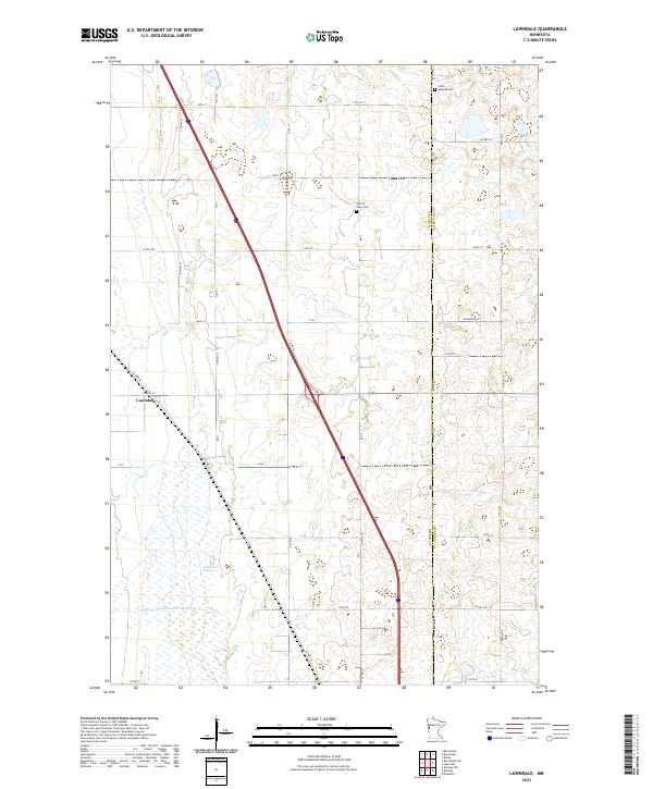
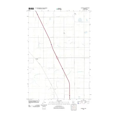
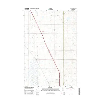
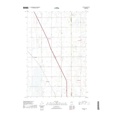
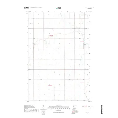
2022 Map of Lawndale
USGS Topo · Published 2022About this map
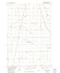
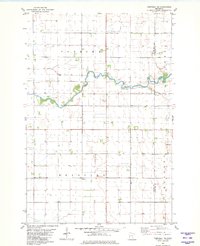
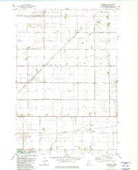
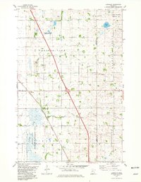
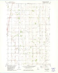
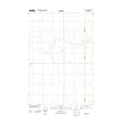
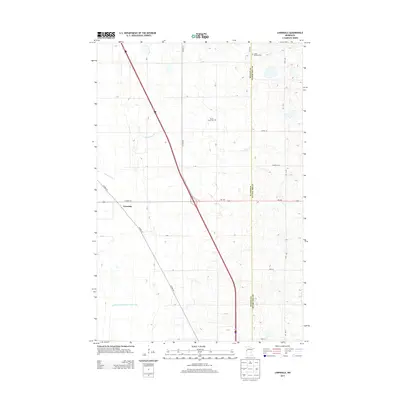
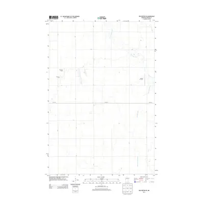
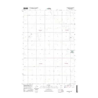
The boundary between Wilkin Co and Otter Tail Co runs vertically through this prairie landscape, defining a region where agricultural grid-lines meet low-lying wetlands. The small settlement of Lawndale sits at the intersection of Co Hwy 52 and Co Hwy 30, serving as a focal point for the surrounding farmsteads. To the south, the terrain softens into the Lawndale Swamp, a significant natural feature drained in part by the engineered path of Judicial Ditch Number Three Two.
Find a feature on this map
30 named features on this map. Tap any name to fly to it.
Don’t see what you’re looking for? This feature index may not catch every label — zoom into the map to look around manually.
Map Details
Editions of this 2022 Lawndale Map
This is the sole edition of this map. No revisions or reprints were ever made.
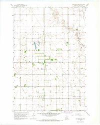
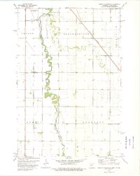
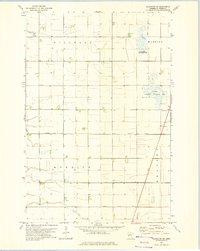
Historical Maps of Lawndale Through Time
48 maps found
1966 Wolverton SE
Wilkin County, MN
1973 South of Wahpeton
Wilkin County, MN
1973 Wahpeton NE
Wilkin County, MN
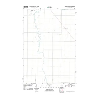
1981 Barnesville SW
Wilkin County, MN
1981 Campbell NE
Wilkin County, MN
1981 Everdell
Wilkin County, MN
1981 Lawndale
Wilkin County, MN
1981 Rothsay NW
Wilkin County, MN
2010 Barnesville SW
Wilkin County, MN
2010 Campbell NE
Wilkin County, MN
2010 Everdell
Wilkin County, MN
2010 Lawndale
Wilkin County, MN
2010 Rothsay NW
Wilkin County, MN
2010 Wahpeton NE
Wilkin County, MN
2010 Wolverton SE
Wilkin County, MN
2011 South of Wahpeton
Wilkin County, MN
2013 Barnesville SW
Wilkin County, MN
2013 Campbell NE
Wilkin County, MN
2013 Everdell
Wilkin County, MN
2013 Lawndale
Wilkin County, MN
2013 Rothsay NW
Wilkin County, MN
2013 South of Wahpeton
Wilkin County, MN
2013 Wahpeton NE
Wilkin County, MN
2013 Wolverton SE
Wilkin County, MN
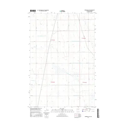
2016 Barnesville SW
Wilkin County, MN
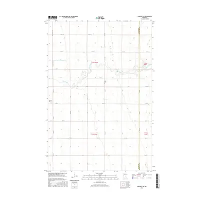
2016 Campbell NE
Wilkin County, MN
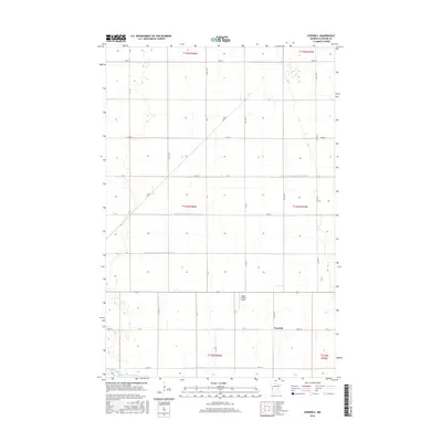
2016 Everdell
Wilkin County, MN
2016 Lawndale
Wilkin County, MN
2016 Rothsay NW
Wilkin County, MN
2016 South of Wahpeton
Wilkin County, MN
2016 Wahpeton NE
Wilkin County, MN
2016 Wolverton SE
Wilkin County, MN
2019 Barnesville SW
Wilkin County, MN
2019 Campbell NE
Wilkin County, MN
2019 Everdell
Wilkin County, MN
2019 Lawndale
Wilkin County, MN
2019 Rothsay NW
Wilkin County, MN
2019 South of Wahpeton
Wilkin County, MN
2019 Wahpeton NE
Wilkin County, MN
2019 Wolverton SE
Wilkin County, MN
2022 Barnesville SW
Wilkin County, MN
2022 Campbell NE
Wilkin County, MN
2022 Everdell
Wilkin County, MN
2022 Lawndale
Wilkin County, MN
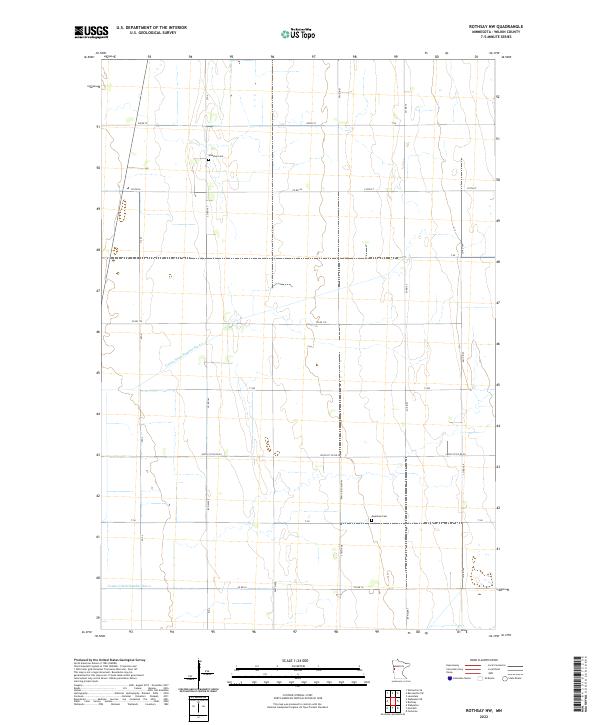
2022 Rothsay NW
Wilkin County, MN
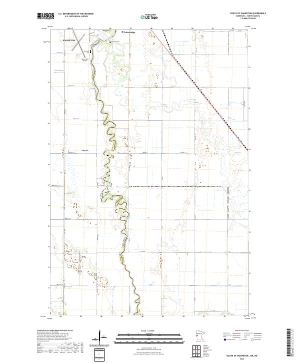
2022 South of Wahpeton
Wilkin County, MN
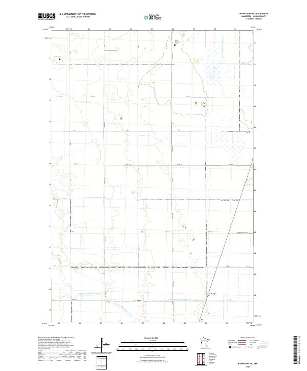
2022 Wahpeton NE
Wilkin County, MN
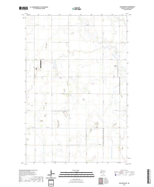
2022 Wolverton SE
Wilkin County, MN