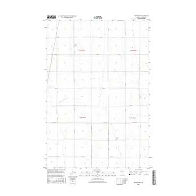
2016 Map of Rothsay NW
USGS Topo · Published 2016About this map
The agricultural landscape of Wilkin County, Minnesota, is defined by its precise Section-Line grid and an extensive network of drainage infrastructure in this 2016 survey. This portion of the Red River Valley relies on water management systems like County Ditch Number Six-a and County Ditch Number One-a to support its productive farmland. The map provides essential data for genealogists tracing pioneer families, identifying the locations of Manston Cem in the north and Meadows Cem further south. The transportation network is dominated by county roads such as Co Rd 26 and Co Rd 16, which cross the flat terrain. This survey documents the intersection of several townships, including t135n r46w and t134n r45w, preserving the modern spatial organization of these rural communities.
Find a feature on this map
26 named features on this map. Tap any name to fly to it.
Don’t see what you’re looking for? This feature index may not catch every label — zoom into the map to look around manually.
Map Details
Editions of this 2016 Rothsay NW Map
This is the sole edition of this map. No revisions or reprints were ever made.
Other maps of this area

1895 · Fargo
USGS Topo · 1:125,000

1897 · Fargo
USGS Topo · 1:125,000

1904 · Wahpeton
USGS Topo · 1:125,000

1919 · Rothsay
USGS Topo · 1:62,500

1919 · Barnesville
USGS Topo · 1:62,500

1951 · Rothsay
USGS Topo · 1:62,500

1952 · Barnesville
USGS Topo · 1:62,500

1953 · Fargo
USGS Topo · 1:250,000

1956 · Fargo
USGS Topo · 1:250,000

1964 · Wahpeton
USGS Topo · 1:24,000