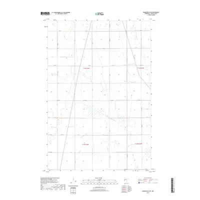
2019 Map of Barnesville SW
USGS Topo · Published 2019About this map
The S Br Buffalo River winds through the agricultural landscape of Wilkin County, shaping the drainage patterns of this prairie region. The area is defined by an extensive and organized network of water management infrastructure, evidenced by the numerous judicial and state ditches. These features, such as State Ditch Number Fourteen and Judicial Ditch Number Three-One, illustrate the late 20th and early 21st-century efforts to reclaim and manage the land for heavy cultivation. A rigid grid of section roads, including Co HWY 30 and 110th St, partitions the terrain, reflecting the enduring influence of the Public Land Survey System on the modern Minnesota geography. The presence of Deerhorn Cr provides a natural contrast to the engineered channels that dominate the hydrological layout of the township.
Find a feature on this map
40 named features on this map. Tap any name to fly to it.
Don’t see what you’re looking for? This feature index may not catch every label — zoom into the map to look around manually.
Map Details
Editions of this 2019 Barnesville SW Map
This is the sole edition of this map. No revisions or reprints were ever made.
Other maps of this area

1895 · Fargo
USGS Topo · 1:125,000

1897 · Fargo
USGS Topo · 1:125,000

1904 · Wahpeton
USGS Topo · 1:125,000

1919 · Rothsay
USGS Topo · 1:62,500

1919 · Barnesville
USGS Topo · 1:62,500

1951 · Rothsay
USGS Topo · 1:62,500

1952 · Barnesville
USGS Topo · 1:62,500

1953 · Fargo
USGS Topo · 1:250,000

1956 · Fargo
USGS Topo · 1:250,000

1964 · Baker
USGS Topo · 1:24,000