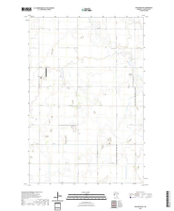
2022 Map of Wolverton SE
USGS Topo · Published 2022About this map
The S Br Buffalo River and its tributary, Deerhorn Cr, wind through this section of Wilkin County, shaping a landscape defined by agricultural infrastructure and the Public Land Survey System. The map highlights the intersection of rural life and aviation with the presence of the Ag Spray Inc Airport and Nord-Field, indicating the vital role of aerial application in this farming region. For those researching family history, the Deerhorn Cem is a primary landmark situated along the grid of county and township roads. Significant water management is evident through features like State Ditch Number Fifteen, which reflects the long-term engineering required to maintain the productivity of these prairie lands.
Find a feature on this map
38 named features on this map. Tap any name to fly to it.
Don’t see what you’re looking for? This feature index may not catch every label — zoom into the map to look around manually.
Map Details
Editions of this 2022 Wolverton SE Map
This is the sole edition of this map. No revisions or reprints were ever made.
Other maps of this area

1895 · Fargo
USGS Topo · 1:125,000

1897 · Fargo
USGS Topo · 1:125,000

1904 · Wahpeton
USGS Topo · 1:125,000

1919 · Rothsay
USGS Topo · 1:62,500

1919 · Barnesville
USGS Topo · 1:62,500

1951 · Rothsay
USGS Topo · 1:62,500

1952 · Barnesville
USGS Topo · 1:62,500

1953 · Fargo
USGS Topo · 1:250,000

1956 · Fargo
USGS Topo · 1:250,000

1964 · Baker
USGS Topo · 1:24,000