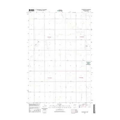
2016 Map of Wolverton SE
USGS Topo · Published 2016About this map
The S Br Buffalo River winds through this agricultural portion of Wilkin County, shaping the drainage patterns and land use of the Red River Valley. The terrain is meticulously managed for production, marked by the extensive State Ditch Number Fifteen and smaller waterways like Deerhorn Cr. Local infrastructure reflects the needs of the farming economy, including the Ag Spray Inc Airport and Nord Field, which support aerial operations for the surrounding fields.
Find a feature on this map
35 named features on this map. Tap any name to fly to it.
Don’t see what you’re looking for? This feature index may not catch every label — zoom into the map to look around manually.
Map Details
Editions of this 2016 Wolverton SE Map
This is the sole edition of this map. No revisions or reprints were ever made.
Other maps of this area

1895 · Fargo
USGS Topo · 1:125,000

1897 · Fargo
USGS Topo · 1:125,000

1904 · Wahpeton
USGS Topo · 1:125,000

1919 · Rothsay
USGS Topo · 1:62,500

1919 · Barnesville
USGS Topo · 1:62,500

1951 · Rothsay
USGS Topo · 1:62,500

1952 · Barnesville
USGS Topo · 1:62,500

1953 · Fargo
USGS Topo · 1:250,000

1956 · Fargo
USGS Topo · 1:250,000

1964 · Baker
USGS Topo · 1:24,000