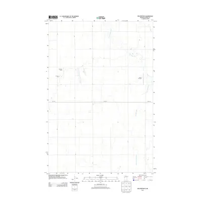
2013 Map of Wolverton SE
USGS Topo · Published 2013About this map
S Br Buffalo River and its meandering tributaries dominate this section of Wilkin County, shaping a rural landscape defined by agricultural drainage and flat prairie terrain. The water system includes the channelized State Ditch Number Fifteen and Deerhorn Cr, which facilitate the region's intensive farming operations. Settlement is sparse, with small private airstrips like Nord Field Airport and Ag Spray Inc Airport reflecting the importance of aerial application in local agriculture. Near the western edge, the Deerhorn Cem stands as a primary genealogical landmark for the surrounding township. A rigid grid of township roads, such as T-185 and T-10, intersects with the primary east-west thoroughfare of Co Hwy-30, illustrating the systematic land division characteristic of the Red River Valley borderlands during this era of modern industrial farming.
Find a feature on this map
20 named features on this map. Tap any name to fly to it.
Don’t see what you’re looking for? This feature index may not catch every label — zoom into the map to look around manually.
Map Details
Editions of this 2013 Wolverton SE Map
This is the sole edition of this map. No revisions or reprints were ever made.
Other maps of this area

1895 · Fargo
USGS Topo · 1:125,000

1897 · Fargo
USGS Topo · 1:125,000

1904 · Wahpeton
USGS Topo · 1:125,000

1919 · Rothsay
USGS Topo · 1:62,500

1919 · Barnesville
USGS Topo · 1:62,500

1951 · Rothsay
USGS Topo · 1:62,500

1952 · Barnesville
USGS Topo · 1:62,500

1953 · Fargo
USGS Topo · 1:250,000

1956 · Fargo
USGS Topo · 1:250,000

1964 · Baker
USGS Topo · 1:24,000