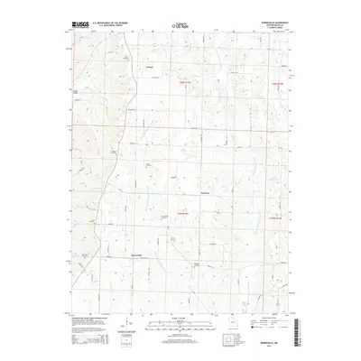
2014 Map of Barnesville
USGS Topo · Published 2014About this map
Barnesville and the surrounding rural communities of Plainview and Cottage anchor this section of Macon County, defined by a network of small creeks and the prominent E Fork Little Chariton River. The landscape is heavily marked by family and community history, evidenced by numerous burial grounds including Quail Trap Cemetery, Hockensmith Cemetery, and Hopewell Cemetery. The topography transitions from the northern reach of Richland Cr and Buck Cr down to the southern drainages of Lick Cr and Sweezer Cr.
Find a feature on this map
109 named features on this map. Tap any name to fly to it.
Don’t see what you’re looking for? This feature index may not catch every label — zoom into the map to look around manually.
Map Details
Editions of this 2014 Barnesville Map
This is the sole edition of this map. No revisions or reprints were ever made.
Other maps of this area

1903 · Edina
USGS Topo · 1:125,000

1908 · Atlanta
USGS Topo · 1:62,500

1937 · Elmer
USGS Topo · 1:48,000

1938 · Kirksville
USGS Topo · 1:62,500

1940 · Kirksville
USGS Topo · 1:62,500

1942 · Elmer
USGS Topo · 1:62,500

1953 · Moberly
USGS Topo · 1:250,000

1954 · Centerville
USGS Topo · 1:250,000

1954 · Moberly
USGS Topo · 1:250,000

1957 · Moberly
USGS Topo · 1:250,000