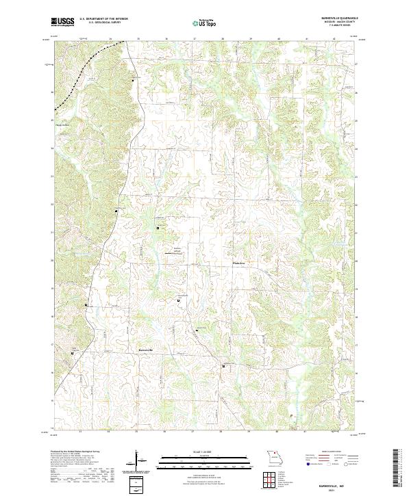
2021 Map of Barnesville
USGS Topo · Published 2021About this map
Middle Fork Little Chariton River and its numerous tributaries, including Huckleberry Cr and Richland Cr, carve a intricate drainage pattern through this section of Macon County. The landscape is characterized by a high density of family and community burial grounds, such as Quail Trap Cem, Murry Cem, and Steel Cem, which offer significant touchstones for genealogical research in this rural corridor. Small settlements like Barnesville and Plainview serve as local hubs, connected by a network of state and county roads including State Hwy J and State Hwy O.
Find a feature on this map
45 named features on this map. Tap any name to fly to it.
Don’t see what you’re looking for? This feature index may not catch every label — zoom into the map to look around manually.
Map Details
Editions of this 2021 Barnesville Map
This is the sole edition of this map. No revisions or reprints were ever made.
Other maps of this area

1903 · Edina
USGS Topo · 1:125,000

1908 · Atlanta
USGS Topo · 1:62,500

1937 · Elmer
USGS Topo · 1:48,000

1938 · Kirksville
USGS Topo · 1:62,500

1940 · Kirksville
USGS Topo · 1:62,500

1942 · Elmer
USGS Topo · 1:62,500

1953 · Moberly
USGS Topo · 1:250,000

1954 · Centerville
USGS Topo · 1:250,000

1954 · Moberly
USGS Topo · 1:250,000

1957 · Moberly
USGS Topo · 1:250,000