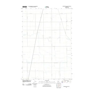
2010 Map of Barnesville SW
USGS Topo · Published 2010About this map
Deerhorn Creek meanders across this rural Wilkin County landscape, providing a natural drainage contrast to the rigid grid of the Public Land Survey System. In this portion of Minnesota, the topography is remarkably level, defined by the low-lying basin of the South Branch Buffalo River which cuts horizontally across the southern half of the quadrangle. The agrarian character of the area is underscored by the presence of the Braton School in the northeast, a localized landmark at the junction of T-275 and T-231. A dense network of township roads and county highways, including County Hwy-32 and County Hwy-52, provides the primary structure for the scattered farmsteads and agricultural operations that dominate the region.
Find a feature on this map
23 named features on this map. Tap any name to fly to it.
Don’t see what you’re looking for? This feature index may not catch every label — zoom into the map to look around manually.
Map Details
Editions of this 2010 Barnesville SW Map
This is the sole edition of this map. No revisions or reprints were ever made.
Other maps of this area

1895 · Fargo
USGS Topo · 1:125,000

1897 · Fargo
USGS Topo · 1:125,000

1904 · Wahpeton
USGS Topo · 1:125,000

1919 · Rothsay
USGS Topo · 1:62,500

1919 · Barnesville
USGS Topo · 1:62,500

1951 · Rothsay
USGS Topo · 1:62,500

1952 · Barnesville
USGS Topo · 1:62,500

1953 · Fargo
USGS Topo · 1:250,000

1956 · Fargo
USGS Topo · 1:250,000

1964 · Baker
USGS Topo · 1:24,000