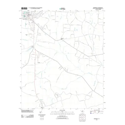
2011 Map of Barnwell
USGS Topo · Published 2011About this map
Barnwell Hill and the surrounding lowlands of the Salkehatchie River basin define the landscape of this 2011 survey. The city of Barnwell serves as the primary hub, with local landmarks like the Barnwell Post Office and Lake Brown anchoring the northern sector. Smaller, distinctively named settlements such as Happy Bottom, Hells Half Acre, and Yenome appear along the road corridors, offering specific points of interest for local history and genealogy.
Find a feature on this map
93 named features on this map. Tap any name to fly to it.
Don’t see what you’re looking for? This feature index may not catch every label — zoom into the map to look around manually.
Map Details
Editions of this 2011 Barnwell Map
This is the sole edition of this map. No revisions or reprints were ever made.
Other maps of this area

1919 · Olar
USGS Topo · 1:62,500

1919 · Bamberg
USGS Topo · 1:48,000

1919 · Allendale
USGS Topo · 1:62,500

1920 · Bamberg
USGS Topo · 1:62,500

1923 · Williston
USGS Topo · 1:48,000

1927 · Williston
USGS Topo · 1:62,500

1943 · Olar
USGS Topo · 1:62,500

1943 · Allendale
USGS Topo · 1:62,500

1943 · Bamberg
USGS Topo · 1:62,500

1943 · Williston
USGS Topo · 1:62,500