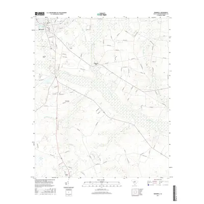
2017 Map of Barnwell
USGS Topo · Published 2017About this map
The Salkehatchie River and its various tributaries, including Turkey Cr and Hurricane Cr, define the drainage of this South Carolina landscape. In the northwest corner, the city of Barnwell serves as a primary hub, situated near Barnwell Hill and the headwaters of White Oak Spring. The map documents a landscape characterized by its wetlands and small water bodies, such as Fuller Pond, Fiddle Pond, and Green Savannah Lake.
Find a feature on this map
96 named features on this map. Tap any name to fly to it.
Don’t see what you’re looking for? This feature index may not catch every label — zoom into the map to look around manually.
Map Details
Editions of this 2017 Barnwell Map
This is the sole edition of this map. No revisions or reprints were ever made.
Other maps of this area

1919 · Olar
USGS Topo · 1:62,500

1919 · Bamberg
USGS Topo · 1:48,000

1919 · Allendale
USGS Topo · 1:62,500

1920 · Bamberg
USGS Topo · 1:62,500

1923 · Williston
USGS Topo · 1:48,000

1927 · Williston
USGS Topo · 1:62,500

1943 · Olar
USGS Topo · 1:62,500

1943 · Allendale
USGS Topo · 1:62,500

1943 · Bamberg
USGS Topo · 1:62,500

1943 · Williston
USGS Topo · 1:62,500