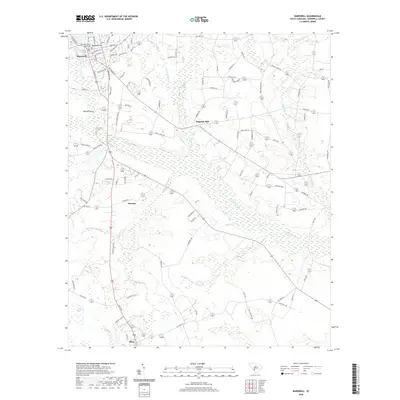
2020 Map of Barnwell
USGS Topo · Published 2020About this map
Barnwell County Courthouse serves as the focal point for this area, where the town of Barnwell sits atop Barnwell Hill. The landscape to the south and east is defined by the expansive wetlands and slow-moving waters of the Salkehatchie River, which is fed by numerous tributaries including Jordan Br and Toby Cr. These water systems historically supported local industry and agriculture, evidenced by the location of Hagoods Mill and the proximity of smaller settlements like Kline, Yenome, and Bannon Point.
Find a feature on this map
107 named features on this map. Tap any name to fly to it.
Don’t see what you’re looking for? This feature index may not catch every label — zoom into the map to look around manually.
Map Details
Editions of this 2020 Barnwell Map
This is the sole edition of this map. No revisions or reprints were ever made.
Other maps of this area

1919 · Olar
USGS Topo · 1:62,500

1919 · Bamberg
USGS Topo · 1:48,000

1919 · Allendale
USGS Topo · 1:62,500

1920 · Bamberg
USGS Topo · 1:62,500

1923 · Williston
USGS Topo · 1:48,000

1927 · Williston
USGS Topo · 1:62,500

1943 · Olar
USGS Topo · 1:62,500

1943 · Allendale
USGS Topo · 1:62,500

1943 · Bamberg
USGS Topo · 1:62,500

1943 · Williston
USGS Topo · 1:62,500