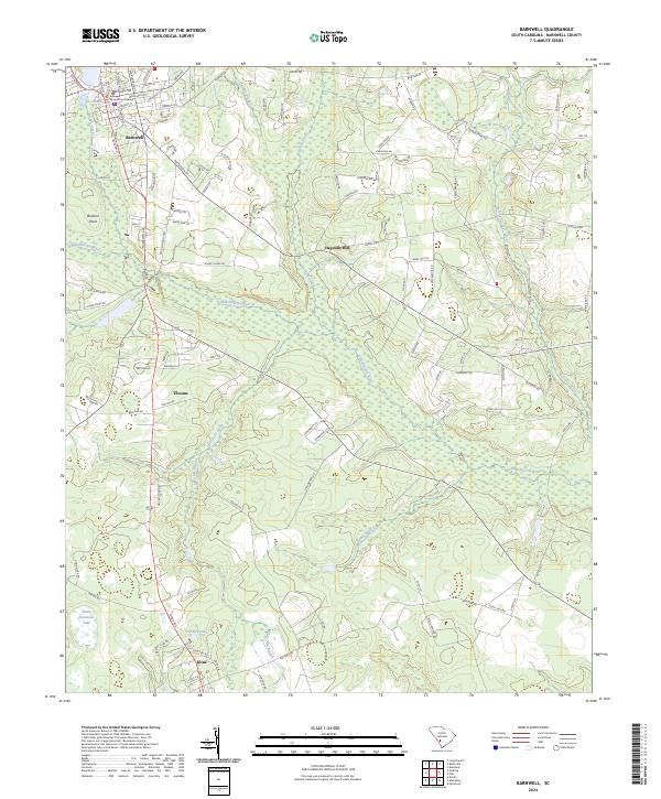
2024 Map of Barnwell
USGS Topo · Published 2024About this map
The County Courthouse in Barnwell serves as the focal point of this South Carolina landscape, where the town’s grid gives way to the winding wetlands of the Salkehatchie River. The terrain is defined by low-lying watercourses and several distinct high points, such as Barnwell Hill and Bannon Point. To the south, the small settlement of Kline is situated near Fiddle Pond and a local Cemetery, illustrating the rural residential patterns that persist in this part of the county.
Find a feature on this map
108 named features on this map. Tap any name to fly to it.
Don’t see what you’re looking for? This feature index may not catch every label — zoom into the map to look around manually.
Map Details
Editions of this 2024 Barnwell Map
This is the sole edition of this map. No revisions or reprints were ever made.
Other maps of this area

1919 · Olar
USGS Topo · 1:62,500

1919 · Bamberg
USGS Topo · 1:48,000

1919 · Allendale
USGS Topo · 1:62,500

1920 · Bamberg
USGS Topo · 1:62,500

1923 · Williston
USGS Topo · 1:48,000

1927 · Williston
USGS Topo · 1:62,500

1943 · Olar
USGS Topo · 1:62,500

1943 · Allendale
USGS Topo · 1:62,500

1943 · Bamberg
USGS Topo · 1:62,500

1943 · Williston
USGS Topo · 1:62,500