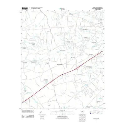
2011 Map of Barr Lake
USGS Topo · Published 2011About this map
Twelvemile Creek and its many tributaries, including Hogpen Branch and Boggy Branch, dominate this landscape south of Lake Murray. The map documents a period of suburban transition for Lexington County, where established rural communities like Ethon Crossroads and Barr Crossing sit alongside developing residential areas such as Creekwood and Lakeland. The region is marked by numerous small, privately-named reservoirs and dams, such as Harmon Pond and Crout Pond, reflecting the local hydrology and land management of the early 21st century. Infrastructure for public services is visible through the Lexington Post Office and the Gilbert Fire Tower, while the Pisgah Cemetery serves as a grounded point of reference for local genealogy. The dense network of secondary roads, including Two Notch Rd and Wise Ferry Rd, indicates a community deeply connected by historical transit corridors.
Find a feature on this map
173 named features on this map. Tap any name to fly to it.
Don’t see what you’re looking for? This feature index may not catch every label — zoom into the map to look around manually.
Map Details
Editions of this 2011 Barr Lake Map
This is the sole edition of this map. No revisions or reprints were ever made.
Other maps of this area

1904 · Columbia
USGS Topo · 1:125,000

1941 · Spartanburg
USGS Topo · 1:250,000

1944 · Gilbert
USGS Topo · 1:62,500

1944 · Edmund
USGS Topo · 1:62,500

1946 · Irmo
USGS Topo · 1:24,000

1948 · Irmo
USGS Topo · 1:24,000

1953 · Spartanburg
USGS Topo · 1:250,000

1954 · Augusta
USGS Topo · 1:250,000

1957 · Augusta
USGS Topo · 1:250,000

1958 · Augusta
USGS Topo · 1:250,000