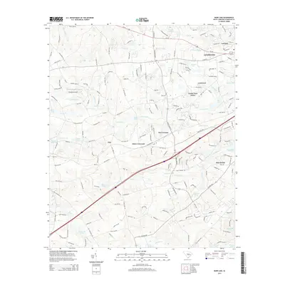
2014 Map of Barr Lake
USGS Topo · Published 2014About this map
Lexington and its surrounding suburban and rural landscape serve as the focal point for this area southwest of the state capital. The map records a complex hydrological network defined by the upper reaches of the Congaree Cr and Red Bank Cr basins, where numerous small impoundments such as Barr Lake and Saxe-Gotha Millpond suggest a history of local water management and recreation. The transition from the more densely settled corridors near Us-1 and Us-378 into the outlying crossroads reflects the late-century growth patterns of the South Carolina Midlands.
Find a feature on this map
195 named features on this map. Tap any name to fly to it.
Don’t see what you’re looking for? This feature index may not catch every label — zoom into the map to look around manually.
Map Details
Editions of this 2014 Barr Lake Map
This is the sole edition of this map. No revisions or reprints were ever made.
Other maps of this area

1904 · Columbia
USGS Topo · 1:125,000

1941 · Spartanburg
USGS Topo · 1:250,000

1944 · Gilbert
USGS Topo · 1:62,500

1944 · Edmund
USGS Topo · 1:62,500

1946 · Irmo
USGS Topo · 1:24,000

1948 · Irmo
USGS Topo · 1:24,000

1953 · Spartanburg
USGS Topo · 1:250,000

1954 · Augusta
USGS Topo · 1:250,000

1957 · Augusta
USGS Topo · 1:250,000

1958 · Augusta
USGS Topo · 1:250,000