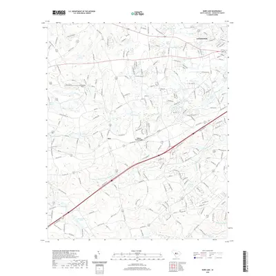
2020 Map of Barr Lake
USGS Topo · Published 2020About this map
The town of Lexington serves as the focal point for this study of central South Carolina, where suburban development meets the historical hydrography of the Midlands. The landscape is defined by a dense network of small water bodies and drainage systems, including Barr Lake, Fourteenmile Cr, and the upper reaches of Congaree Cr. The prevalence of named impoundments such as Taylor Millpond, Koons Pond, and Zimmerman Pond reflects a long history of water management for local industry and agriculture. Smaller settlements like Elsie and Ethon Crossroads appear alongside modern infrastructure, including the Whiteplains Airport. Genealogists may find interest in the location of Pisgah Cem and the various family-named ponds that dot the terrain between Twelvemile Cr and Red Bank Cr.
Find a feature on this map
217 named features on this map. Tap any name to fly to it.
Don’t see what you’re looking for? This feature index may not catch every label — zoom into the map to look around manually.
Map Details
Editions of this 2020 Barr Lake Map
This is the sole edition of this map. No revisions or reprints were ever made.
Other maps of this area

1904 · Columbia
USGS Topo · 1:125,000

1941 · Spartanburg
USGS Topo · 1:250,000

1944 · Gilbert
USGS Topo · 1:62,500

1944 · Edmund
USGS Topo · 1:62,500

1946 · Irmo
USGS Topo · 1:24,000

1948 · Irmo
USGS Topo · 1:24,000

1953 · Spartanburg
USGS Topo · 1:250,000

1954 · Augusta
USGS Topo · 1:250,000

1957 · Augusta
USGS Topo · 1:250,000

1958 · Augusta
USGS Topo · 1:250,000