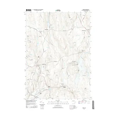
2015 Map of Barre
USGS Topo · Published 2015About this map
The Ware River and its numerous tributaries define the industrial and agricultural heritage of central Massachusetts. This area is characterized by a high concentration of small, historic mill settlements such as Mill Village, Heald Village, and White Valley, many of which were founded around local water power. The industrial past is further evidenced by Powder Mill Pond and Wax Factory Pond, labels that hint at the specific manufacturing efforts that once drove these communities.
Find a feature on this map
134 named features on this map. Tap any name to fly to it.
Don’t see what you’re looking for? This feature index may not catch every label — zoom into the map to look around manually.
Map Details
Editions of this 2015 Barre Map
This is the sole edition of this map. No revisions or reprints were ever made.
Other maps of this area

1885 · Worcester
USGS Topo · 1:62,500

1886 · Worcester
USGS Topo · 1:62,500

1887 · Winchendon
USGS Topo · 1:62,500

1887 · Barre
USGS Topo · 1:62,500

1887 · Fitchburg
USGS Topo · 1:62,500

1889 · Fitchburg
USGS Topo · 1:62,500

1889 · Barre
USGS Topo · 1:62,500

1890 · Winchendon
USGS Topo · 1:62,500

1892 · Worcester
USGS Topo · 1:62,500

1893 · Fitchburg
USGS Topo · 1:62,500