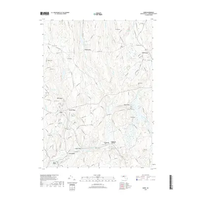
2018 Map of Barre
USGS Topo · Published 2018About this map
The Ware River and its various branches, including the Burnshirt River and Prince River, define the geography of this Worcester County region. The landscape is dotted with small, historic industrial and residential nodes such as Williamsville, Mill Village, and Coldbrook Springs. These communities reflect the long-standing relationship between local industry and the water power provided by features like Powder Mill Pond and Wax Factory Pond.
Find a feature on this map
140 named features on this map. Tap any name to fly to it.
Don’t see what you’re looking for? This feature index may not catch every label — zoom into the map to look around manually.
Map Details
Editions of this 2018 Barre Map
This is the sole edition of this map. No revisions or reprints were ever made.
Other maps of this area

1885 · Worcester
USGS Topo · 1:62,500

1886 · Worcester
USGS Topo · 1:62,500

1887 · Winchendon
USGS Topo · 1:62,500

1887 · Barre
USGS Topo · 1:62,500

1887 · Fitchburg
USGS Topo · 1:62,500

1889 · Fitchburg
USGS Topo · 1:62,500

1889 · Barre
USGS Topo · 1:62,500

1890 · Winchendon
USGS Topo · 1:62,500

1892 · Worcester
USGS Topo · 1:62,500

1893 · Fitchburg
USGS Topo · 1:62,500