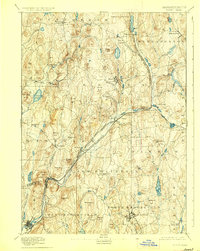
1894 Map of Barre
USGS Topo · Published 1927About this map
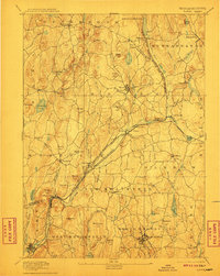
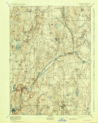
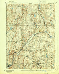
The Ware River and its numerous tributaries dictate the movement of industry and transit through this central Massachusetts landscape. In the late 19th century, the Boston and Albany Railroad and the Central Massachusetts Railroad converged near Barre Plains, connecting remote upland towns like Petersham and Hubbardston to regional markets. The map reveals a dense network of small industrial villages and hamlets, including Old Furnace, Gilbertville, and Smithville, which relied on the water power of the Burnshirt River and Ware River Branch. From the elevations of Mount Pleasant to the lowlands surrounding Wickaboag Pond, the terrain is marked by family-named landmarks like Hawes Hill and Tuft Hill, reflecting the established agricultural roots of Oakham and New Braintree. The presence of the Reservoir and various ponds like Pottapaug Pond hints at the early water management efforts that would later transform this region.
Find a feature on this map
67 named features on this map. Tap any name to fly to it.
Don’t see what you’re looking for? This feature index may not catch every label — zoom into the map to look around manually.
Map Details
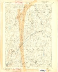
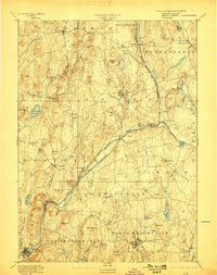
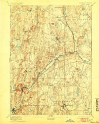
Editions of this 1894 Barre Map
7 editions found
Other maps of this area

1885 · Worcester
USGS Topo · 1:62,500

1886 · Worcester
USGS Topo · 1:62,500

1887 · Brookfield
USGS Topo · 1:62,500

1887 · Warwick
USGS Topo · 1:62,500

1887 · Palmer
USGS Topo · 1:62,500

1887 · Belchertown
USGS Topo · 1:62,500

1887 · Winchendon
USGS Topo · 1:62,500

1887 · Barre
USGS Topo · 1:62,500

1887 · Fitchburg
USGS Topo · 1:62,500

1889 · Webster
USGS Topo · 1:62,500