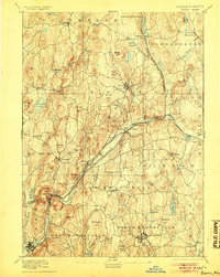
1894 Map of Barre
USGS Topo · Published 1905About this map
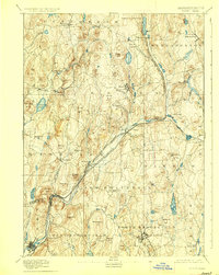
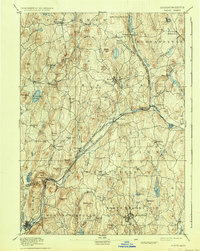
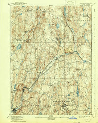
Barre serves as the central hub for this late nineteenth-century industrial and agricultural landscape, situated at the junction of the Boston and Albany Railroad and the Central Massachusetts Railroad. These rail lines trace the narrow valleys of the Ware River and its tributaries, connecting small manufacturing centers like Old Furnace, Smithville, and Barre Plains. The map reveals a high concentration of water-powered industry sites along the Burnshirt River and Prince River, typical of the era's dependence on river topography for power and transport. To the north and south, the terrain rises into prominent local landmarks such as Mount Pleasant and Ragged Hill. Settlement patterns are well-defined, showing the core villages of Petersham, Hubbardston, and Dana before twentieth-century water management projects altered the regional geography. Genealogists can trace family homesteads across the townships of New Braintree, Oakham, and Hardwick, where the rural road network links isolated hills to the busy rail corridors.
Find a feature on this map
90 named features on this map. Tap any name to fly to it.
Don’t see what you’re looking for? This feature index may not catch every label — zoom into the map to look around manually.
Map Details
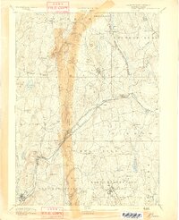
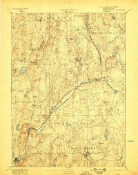
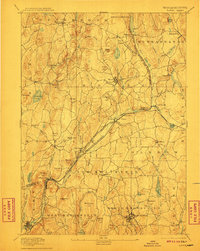
Editions of this 1894 Barre Map
7 editions found
Other maps of this area

1885 · Worcester
USGS Topo · 1:62,500

1886 · Worcester
USGS Topo · 1:62,500

1887 · Brookfield
USGS Topo · 1:62,500

1887 · Warwick
USGS Topo · 1:62,500

1887 · Palmer
USGS Topo · 1:62,500

1887 · Belchertown
USGS Topo · 1:62,500

1887 · Winchendon
USGS Topo · 1:62,500

1887 · Barre
USGS Topo · 1:62,500

1887 · Fitchburg
USGS Topo · 1:62,500

1889 · Webster
USGS Topo · 1:62,500