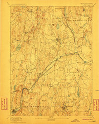
1894 Map of Barre
USGS Topo · Published 1911About this map
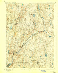
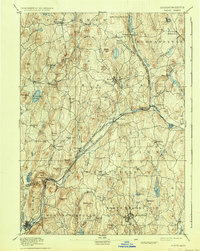
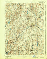
The Ware River serves as the industrial and transportation corridor of central Massachusetts in this late 19th-century survey. Rail activity is concentrated along the river valley, where the Boston and Albany Railroad and the Central Massachusetts Railroad converge near Barre Plains. This junction supported a network of manufacturing and mill settlements like Old Furnace, Smithville, and Gilbertville. To the north and west, the landscape transitions into a series of named ridges and hills, including Raccoon Hill and Poverty Hill, which surround the upland town of Hardwick. Notable water features such as Pottapaug Pond and the Burnshirt River illustrate the complex drainage system feeding the region's early industry. The map captures the area before the significant hydrological changes of the 20th century, preserving the original footprints of towns like Dana and Nichewaug.
Find a feature on this map
93 named features on this map. Tap any name to fly to it.
Don’t see what you’re looking for? This feature index may not catch every label — zoom into the map to look around manually.
Map Details
Editions of this 1894 Barre Map
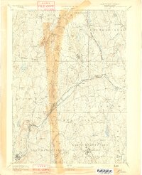
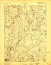
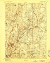
7 editions found
Other maps of this area

1885 · Worcester
USGS Topo · 1:62,500

1886 · Worcester
USGS Topo · 1:62,500

1887 · Brookfield
USGS Topo · 1:62,500

1887 · Warwick
USGS Topo · 1:62,500

1887 · Palmer
USGS Topo · 1:62,500

1887 · Belchertown
USGS Topo · 1:62,500

1887 · Winchendon
USGS Topo · 1:62,500

1887 · Barre
USGS Topo · 1:62,500

1887 · Fitchburg
USGS Topo · 1:62,500

1889 · Webster
USGS Topo · 1:62,500