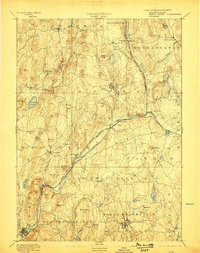
1894 Map of Barre
USGS Topo · Published 1898About this map
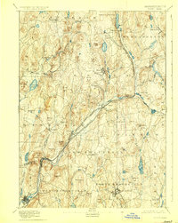
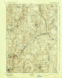
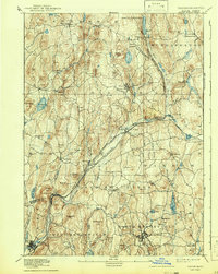
Barre and the surrounding Worcester County uplands are defined by the convergence of the Ware River and two significant rail lines during the late 19th century. The Boston and Albany Railroad and the Central Massachusetts Railroad intersect at Barre Plains, a junction that historically fueled the industrial character of local villages. Along the river, manufacturing nodes like Old Furnace and Gilbertville developed around water power and transit access, while the northern reaches of the map show the rural character of Petersham and Hubbardston.
Find a feature on this map
81 named features on this map. Tap any name to fly to it.
Don’t see what you’re looking for? This feature index may not catch every label — zoom into the map to look around manually.
Map Details
Editions of this 1894 Barre Map
7 editions found
Other maps of this area

1885 · Worcester
USGS Topo · 1:62,500

1886 · Worcester
USGS Topo · 1:62,500

1887 · Brookfield
USGS Topo · 1:62,500

1887 · Warwick
USGS Topo · 1:62,500

1887 · Palmer
USGS Topo · 1:62,500

1887 · Belchertown
USGS Topo · 1:62,500

1887 · Winchendon
USGS Topo · 1:62,500

1887 · Barre
USGS Topo · 1:62,500

1887 · Fitchburg
USGS Topo · 1:62,500

1889 · Webster
USGS Topo · 1:62,500